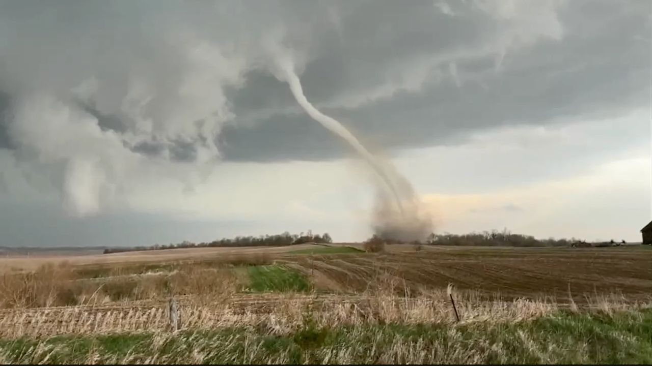
Houston, Texas — Southeast Texas is facing the threat of several days of stormy weather as forecasters warn that repeated rounds of heavy rainfall could lead to dangerous street flooding through Memorial Day weekend.
Meteorologists say the unstable weather pattern may intensify late Saturday into early Sunday, increasing concerns for travel disruptions, flooded roads and washed-out holiday plans across the Houston area.
Multiple Storm Systems Moving Toward Southeast Texas
Weather officials are closely monitoring two separate storm systems expected to impact the region overnight.
One storm complex is approaching from the Hill Country, while another is moving across the border from Mexico. Forecasters believe the Hill Country storms could weaken before reaching Houston, but the second system may still bring a wet and stormy morning commute to parts of Southeast Texas.
Despite the rain threat, Friday afternoon conditions are expected to improve temporarily, with temperatures climbing into the mid-80s alongside lower rain chances and periods of sunshine.
However, meteorologists stress that the break in rainfall may only be short-lived before stronger storms redevelop over the weekend.
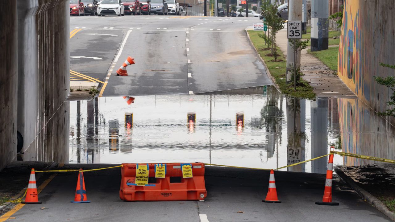
Flood Watch Issued for Multiple Counties
A Flood Watch remains in effect until 7 a.m. Monday for several counties, including Matagorda, Brazoria, Galveston, Fort Bend and Wharton counties.
The alert comes after some communities were already drenched earlier in the week. According to forecasters, many areas received between 4 and 6 inches of rain Wednesday, while isolated locations saw totals climb to more than 9 inches.
Because the ground is already saturated, additional rainfall could quickly lead to flooding problems.
The National Weather Service also indicated that more counties could be added to the Flood Watch depending on where the heaviest rainfall develops over the weekend.
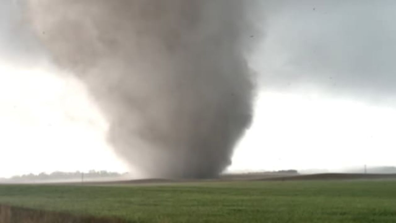
Saturday Carries Highest Flooding Threat
Forecasters say the greatest concern currently centers around late Saturday into early Sunday, when a stronger upper-level storm system is expected to move into Central Texas.
This system could send another wave of intense thunderstorms into Southeast Texas, raising the risk for widespread street flooding and hazardous driving conditions.
Officials are urging residents to stay weather aware throughout the weekend, especially anyone planning outdoor gatherings, travel or Memorial Day events.
Should You Cancel Memorial Day Plans?
Meteorologists are not currently advising residents to cancel holiday weekend plans, but they are encouraging people to remain flexible due to the unpredictable nature of the storms.
“We are not advising anyone to cancel plans, but we strongly recommend folks also have an indoor ‘plan B’ option just in case your original plans get rained out.”
Scattered showers and thunderstorms remain possible each day through Memorial Day, meaning outdoor activities could be interrupted with little warning.
Residents are also being reminded to seek shelter immediately if thunderstorms approach, particularly during periods of heavy rain or lightning.
Storm Pattern Expected to Ease Next Week
The good news for Southeast Texas residents is that forecasters believe the flood threat may gradually begin decreasing after the weekend.
Rain chances are expected to lower slightly by Memorial Day and Tuesday, though another upper-level disturbance could still bring additional rainfall by Wednesday.
After the middle of next week, weather models suggest the region may finally shift toward a hotter and drier pattern heading into the final weekend of May.
Until then, officials continue urging drivers to avoid flooded streets and remain alert for rapidly changing weather conditions.
Are you changing your Memorial Day weekend plans because of the storms? Share your thoughts in the comments below.