Springfield, IL – Central Illinois is preparing for a potentially dangerous round of severe weather later today, with forecasters highlighting a heightened risk for destructive storms during the late afternoon and evening hours.
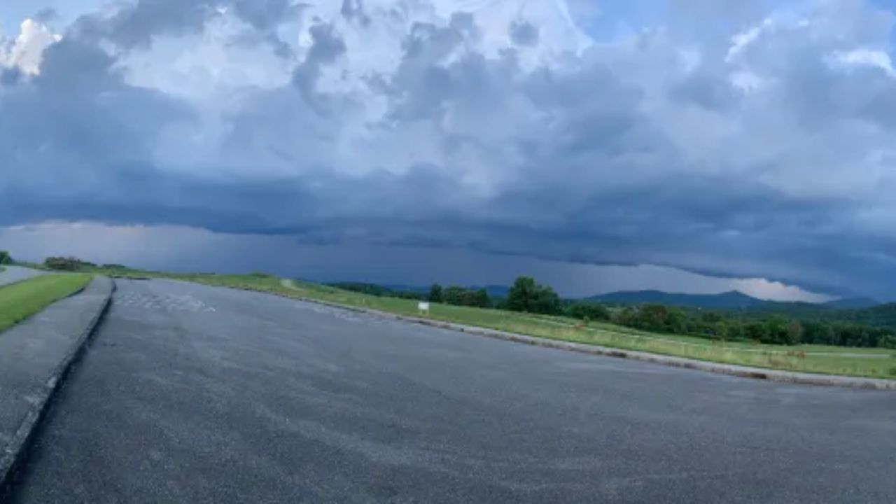
A Level 3 out of 5 severe weather risk has been issued across much of the region, stretching from Peoria and Springfield eastward through Champaign and nearby communities. Storms are expected to rapidly strengthen between 4 p.m. and midnight, moving east at speeds approaching 50 mph. The fast movement could reduce warning lead time and increase the potential for sudden, impactful conditions.
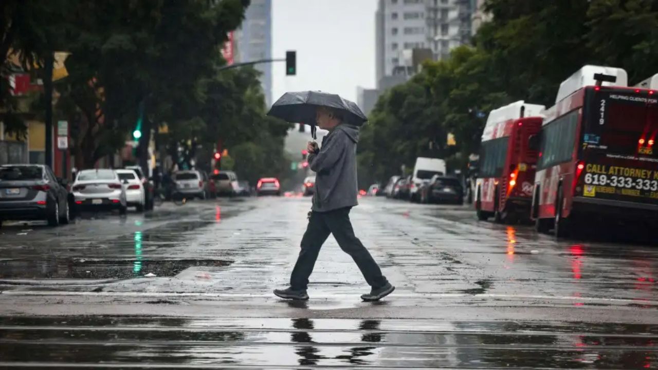
The primary concern is widespread damaging straight-line winds that could exceed 70 mph. Gusts of that magnitude are capable of downing trees and power lines, damaging roofs and siding, and causing scattered power outages. Residents are advised to secure outdoor furniture, trash bins, and other loose objects before storms arrive.
Large hail is also a significant threat, with some hailstones potentially larger than golf balls. Hail of this size can shatter vehicle windows, dent cars, and damage crops and roofing materials. Drivers are encouraged to park vehicles in garages or covered areas if possible.
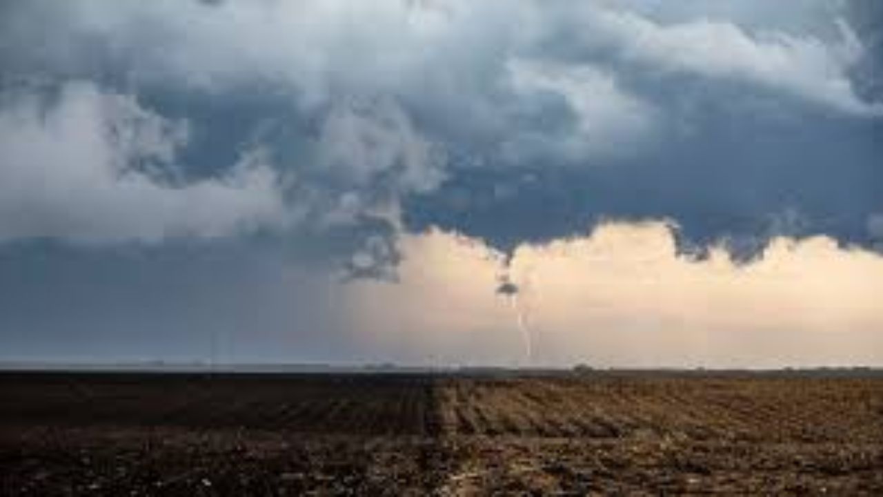
Although the overall tornado risk is lower compared to the wind and hail threat, isolated tornadoes cannot be ruled out — particularly before 8 p.m., when atmospheric conditions may briefly become more supportive of rotation. Any tornado that develops could form quickly within fast-moving storm cells, making it critical for residents to remain alert.
Communities along and north of the I-72 corridor appear most at risk for the strongest storms during the early evening, while areas farther south toward the I-70 corridor may experience storms later in the night. While storms may gradually weaken as they move southward, gusty winds and pockets of hail could still occur.
Sangamon County, Peoria County, Champaign County, and surrounding areas should closely monitor weather updates throughout the day. Residents are encouraged to have multiple ways to receive warnings, including weather apps, NOAA weather radios, and local alerts. If a severe thunderstorm or tornado warning is issued, take immediate action by moving indoors to a sturdy building and away from windows.
With peak impacts expected during common commute and evening activity hours, preparation and awareness will be essential to staying safe as this round of severe weather unfolds across central Illinois.