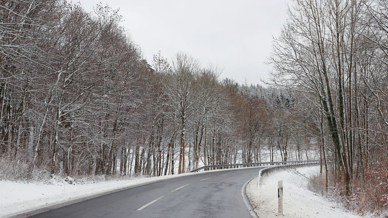
Albany, New York – Drivers across eastern New York and nearby parts of New England should prepare for dangerous travel conditions beginning late Tuesday afternoon, as a widespread wintry mix of snow, sleet, and freezing rain spreads into the region. The most hazardous period is expected overnight into the early Wednesday morning commute, when icy roads and reduced traction could significantly impact travel.
Wintry Mix Expands Across Eastern New York
According to the National Weather Service in Albany, Winter Weather Advisories are in effect from late Tuesday afternoon through Wednesday morning for a broad area of the Northeast. Forecasters say the system will bring snow, sleet, and freezing rain, with ice accumulation becoming the primary concern.
Ice buildup could reach up to two-tenths of an inch in higher elevations, while lower elevations may see up to one-tenth of an inch of ice. Even small amounts of ice can make roads, sidewalks, and bridges extremely slick, increasing the risk of accidents and falls.
Snow and sleet accumulation is expected to be more limited but still impactful, with totals approaching two inches in parts of the Adirondacks, Catskills, and Berkshires. These accumulations, combined with ice, could further complicate travel in elevated and rural areas.
Capital Region Faces Freezing Rain Before Changeover
The Capital Region, including Albany, Schenectady, Troy, and Saratoga Springs, is expected to see a period of freezing rain Tuesday evening. As temperatures gradually rise overnight, precipitation should transition to plain rain, reducing the icing threat by early Wednesday.
However, forecasters caution that even a short window of freezing rain can be enough to coat roads and sidewalks with ice. Urban areas may initially appear manageable, but untreated side streets, parking lots, and elevated surfaces could quickly become slick.
Higher Terrain Likely to Stay Icy Longer
Areas farther north and west are expected to experience more persistent wintry conditions. Locations such as the Lake George region, Schoharie Valley, and southern Adirondacks may remain locked into a wintry mix for several additional hours, increasing the risk of thicker ice accumulation.
In these areas, temperatures may struggle to rise above freezing until later Wednesday morning. This could lead to lingering icy conditions even after precipitation begins to taper off, especially on shaded roadways and secondary routes.
Travel Impacts and Safety Concerns
Transportation officials warn that travel conditions may deteriorate rapidly after sunset Tuesday, particularly as freezing rain begins to fall. The combination of ice and limited visibility could lead to slower commutes, traffic delays, and an increased risk of crashes.
Motorists are urged to take the following precautions:
- Slow down and increase following distance
- Allow extra travel time, especially during the morning commute
- Use caution on bridges, overpasses, hills, and untreated roads
- Avoid sudden braking or sharp turns on icy surfaces
Pedestrians should also remain alert, as sidewalks, steps, and parking lots may become dangerously slippery. Wearing footwear with good traction and using handrails where available can help reduce the risk of falls.
Advisory Timing and What to Expect Wednesday
Winter Weather Advisories remain in effect through Wednesday morning, and officials stress that slick spots may persist even after precipitation ends. Overnight icing can linger into the daylight hours, particularly in areas that receive less sunlight or have poor drainage.
By mid to late Wednesday morning, improving temperatures should gradually reduce the icing threat across most lower elevations. However, higher terrain locations may continue to see patchy ice into the late morning hours.
What Residents Should Do Now
Residents are encouraged to monitor local forecasts and road conditions closely and consider adjusting travel plans if possible. If you must be on the road, emergency kits, charged mobile devices, and winter driving awareness can make a significant difference during icy conditions.
Officials emphasize that while snowfall amounts may be modest, ice is the primary hazard with this system, and even small accumulations can have outsized impacts on safety.
Conclusion
A widespread wintry mix is set to impact eastern New York and surrounding regions from Tuesday afternoon through Wednesday morning, with freezing rain and icy roads posing the greatest risk. Drivers and pedestrians alike should remain cautious, particularly during the overnight hours and early commute, as hazardous conditions may persist even after precipitation ends.
If you live in the Capital Region or nearby higher terrain areas, stay weather-aware and plan ahead. Share your experiences in the comments below.