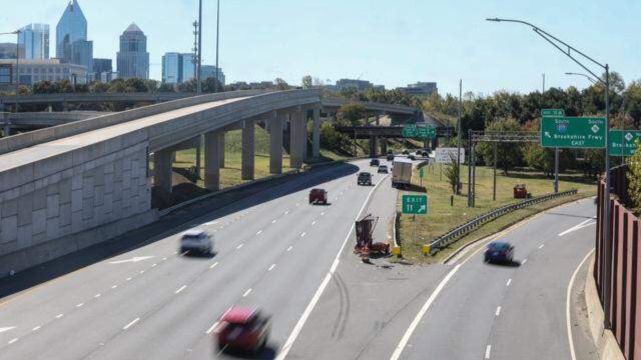
Chicago, IL – What starts as a warm and breezy spring day across northern Illinois and northwest Indiana is expected to transition into a more active and potentially disruptive weather pattern by tonight and especially Tuesday. Travelers along major corridors including I-90, I-94, and Lake Shore Drive should prepare for rapidly changing conditions.
Warm Air and Elevated Fire Risk Monday
A strong push of warm air is lifting temperatures into the mid-70s across the Chicago metro area today. Southwest winds are gusting up to 25 mph, and the combination of dry air and breezy conditions is creating an elevated fire spread risk through the afternoon hours.
Although skies appear mostly sunny and calm, the atmosphere is gradually becoming unstable. That instability will set the stage for thunderstorms to develop later tonight.
Residents are urged to avoid outdoor burning and use caution with anything that could spark flames, especially in open or grassy areas.
Storms Developing Tonight
As evening approaches, scattered thunderstorms are expected to begin forming across northern Illinois and into Indiana. While early storms may remain isolated, conditions could shift quickly after sunset.
The warm daytime temperatures will help fuel stronger updrafts. Some storms overnight may produce:
- Gusty winds
- Brief heavy downpours
- Isolated hail
Drivers traveling late Monday evening should remain alert for sudden weather changes and reduced visibility.
Tuesday: Stronger Storm Threat Expands
Tuesday brings a greater risk of widespread showers and thunderstorms throughout the day. Conditions are expected to become more volatile by afternoon and evening as wind gusts increase to near 35 mph in some areas.
Storm hazards Tuesday may include:
- Damaging wind gusts
- Large hail
- Heavy rainfall
- Localized ponding on roadways
The timing could impact both morning and evening commute periods. Travel along I-90, I-94, the Dan Ryan Expressway, and Lake Shore Drive may slow due to reduced visibility and wet pavement conditions.
Motorists should allow extra travel time and be prepared for sudden downpours.
Midweek Pattern Turns Cooler and Wetter
The unsettled weather pattern does not end Tuesday. Additional rounds of rain are expected Wednesday and Thursday, increasing the risk of minor flooding in low-lying or poorly drained areas.
Temperatures will drop sharply into the 40s by Wednesday, creating a noticeably colder and damp feel compared to Monday’s warmth. While Thursday may briefly rebound into the low 60s, showers are still likely.
By Friday, scattered rain chances remain, with highs near 50°F.
What This Means for Residents
This early April pattern reflects a classic spring transition: rapid swings in temperature, gusty winds, and repeated storm systems moving through the region.
Key safety reminders:
- Secure loose outdoor items ahead of stronger winds.
- Avoid unnecessary travel during heavy thunderstorms.
- Monitor road conditions if commuting along major highways.
- Stay weather-aware, especially Tuesday afternoon and evening.
Conditions may continue evolving, and additional advisories could be issued if storms intensify or flooding concerns increase.
Five-Day Outlook for Chicago
Monday: Mostly sunny and warm, high near 76°F
Tuesday: Thunderstorms likely, high near 75°F
Wednesday: Cooler with scattered showers, high near 40s
Thursday: Showers likely, high near 62°F
Friday: Chance of showers, high near 50°F
Residents across the Chicago metro and northwest Indiana should stay prepared for shifting conditions as this active spring weather pattern unfolds.