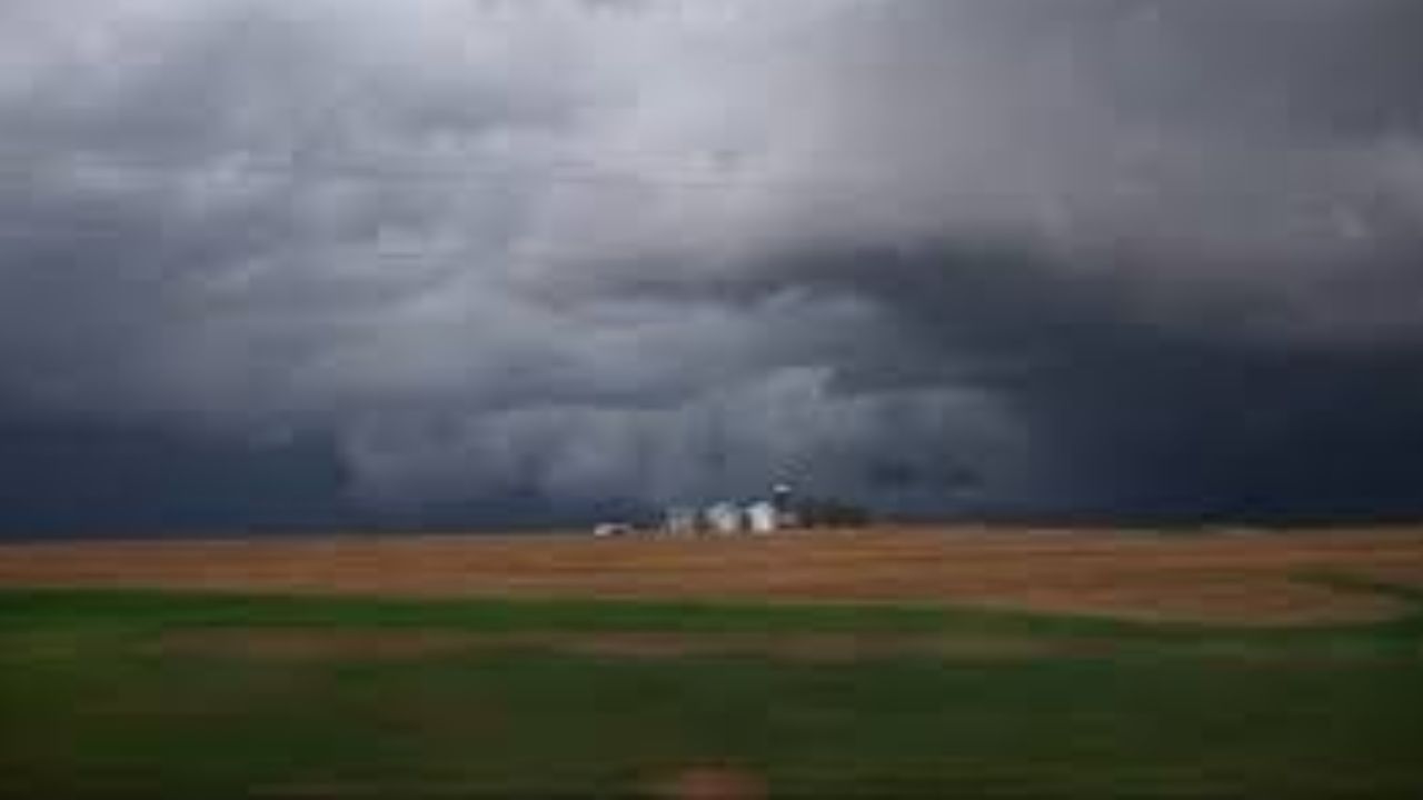
Indiana – A quiet, mild start to the week in Indianapolis is expected to shift quickly as a strong storm system builds across central Indiana. What begins with warm temperatures and breezy skies will transition into multiple rounds of rain and thunderstorms, with the heaviest activity likely by midweek.
Temperatures are climbing into the mid-70s today, giving the area a spring-like feel. However, increasing southwest winds between 10 and 16 mph, with gusts approaching 30 mph, signal that a larger weather system is approaching. Cloud cover will thicken through the day, and moisture levels will steadily rise, creating a favorable setup for thunderstorms.
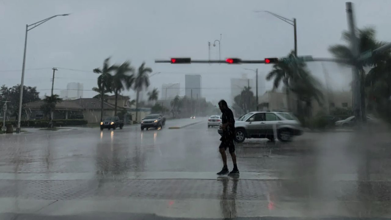
By Tuesday afternoon, scattered storms begin developing across Marion County and neighboring communities. While early activity may be isolated, rain chances expand into the evening hours. Drivers along major corridors such as I-65, I-70, and I-465 should be prepared for changing road conditions, including slick pavement and reduced visibility during heavier downpours.
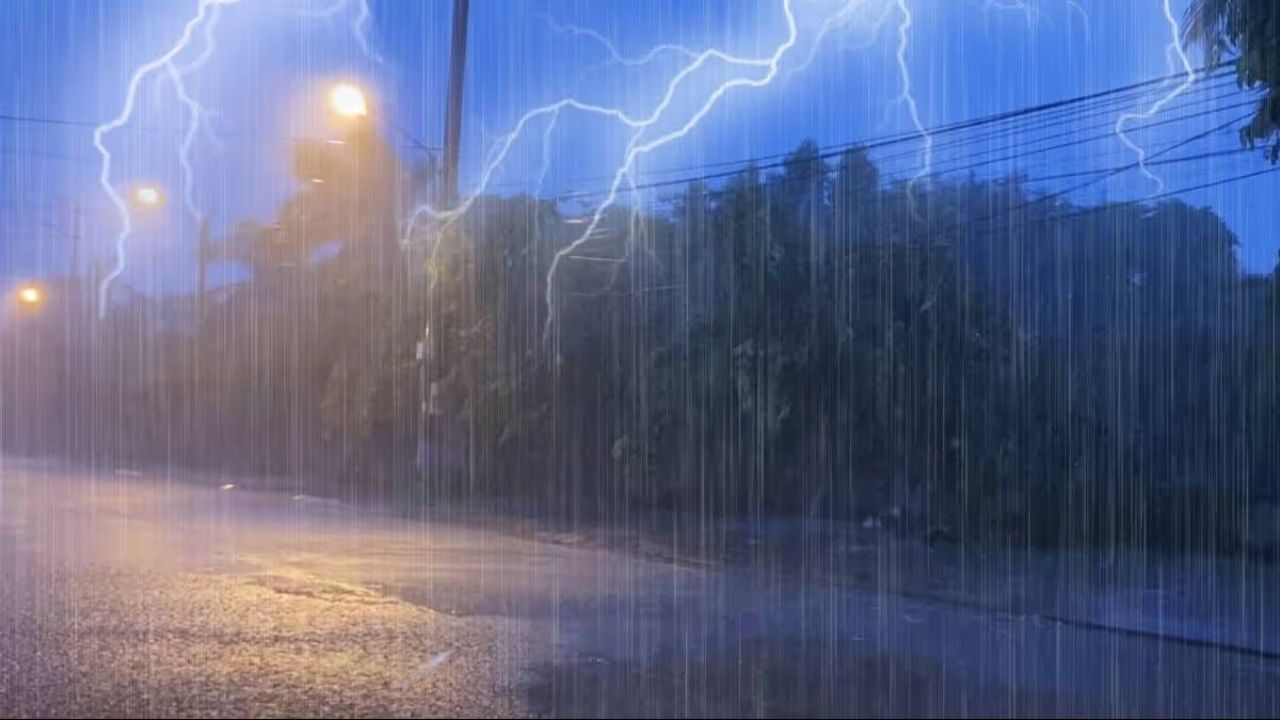
Storm activity becomes more organized Tuesday night, with widespread showers and embedded thunderstorms expected. Rain coverage increases significantly, raising concerns for standing water in low-lying areas and slower commute times. Gusty winds may accompany stronger storm cells, and brief heavy rainfall could reduce visibility during nighttime travel.
The most impactful weather arrives Wednesday. Rain chances surge to around 80 percent, with steady rainfall likely throughout much of the day. Periods of moderate to heavy rain could push totals beyond a quarter inch in many neighborhoods, with locally higher amounts possible under stronger storms. Ponding on roadways and minor flooding in poor drainage areas cannot be ruled out.
Temperatures dip slightly into the mid-60s Wednesday due to persistent cloud cover and rainfall. Residents planning outdoor activities should consider backup options, as rain may linger through much of the day.
Thursday continues the unsettled trend, with another 60 to 80 percent chance of showers and storms. Repeated rainfall over several days increases the risk of localized flooding, particularly in areas that see heavier rainfall earlier in the week. Morning and evening commutes could remain slow due to wet roadways and intermittent downpours.
Looking ahead to early April, temperatures are expected to rebound into the upper 70s at times, but the active storm pattern may persist. Additional advisories could be issued if rainfall totals trend higher or if stronger storms develop.
Residents are encouraged to keep mobile devices charged, monitor updated forecasts, and allow extra travel time during peak rain periods. If you’re traveling through Indianapolis this week or organizing outdoor plans, stay alert for rapidly changing conditions.
Five-Day Outlook for Indianapolis, Indiana:
Monday: Mostly cloudy, high near 76°F
Tuesday: Slight chance of afternoon storms, high near 82°F
Tuesday Night: Widespread storms, low near 55°F
Wednesday: Periods of rain and thunderstorms, high near 66°F
Thursday: Continued showers and storms, high near 78°F
Spring warmth may be returning, but so is classic Midwest storm season.