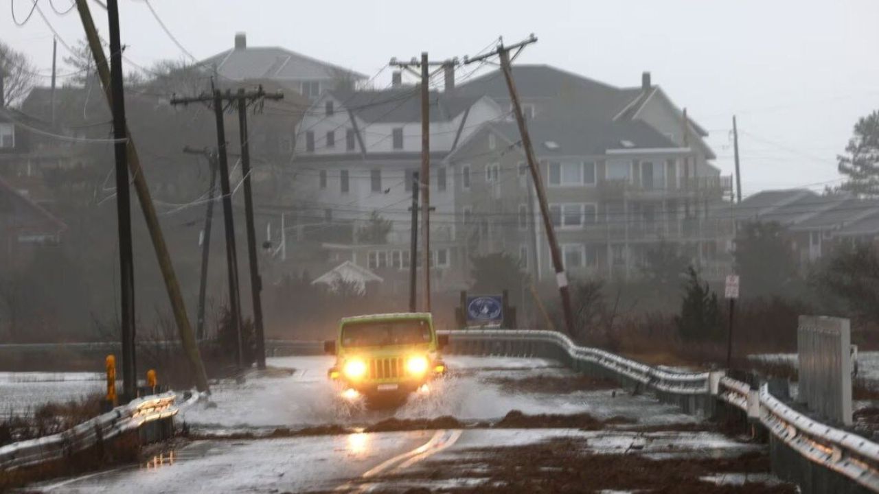
Houston, Texas – Low clouds and areas of patchy fog are greeting commuters across the Houston metro area early Thursday, reducing visibility on several major roadways. Warm, humid air already settled over Southeast Texas is setting the stage for a springlike pattern that will build through Valentine’s weekend, bringing near-80-degree temperatures and increasing rain chances.
Morning temperatures remain in the low 60s, but conditions will change quickly as the day progresses. Fog and low clouds are expected to lift later this morning, allowing temperatures to climb steadily into the afternoon.
Foggy Start Impacts Morning Commute
Early-morning drivers along Interstate 45, Highway 59, and surrounding feeder roads may encounter reduced visibility due to lingering fog and low clouds. The fog is most concentrated during the pre-dawn and early commute hours, creating potential hazards near construction zones, overpasses, and ramps.
Motorists are advised to slow down, increase following distance, and use low-beam headlights until visibility improves. Once the fog dissipates, cloud cover will remain but travel conditions should gradually improve.
Thursday Brings Warm, Springlike Conditions
Despite the cloudy start, Thursday will feel more like late March than February. Afternoon highs are expected to reach around 78°, delivering one of the warmest days of the month so far. Light south winds will keep humidity levels noticeable, giving the air a damp, springlike feel.
While no significant rain is expected during the day, cloud cover will increase again after sunset, setting the stage for unsettled conditions later tonight.
Rain Chances Increase Overnight
Spotty showers are forecast to develop after midnight, with coverage expanding toward early Wednesday morning. Rainfall is expected to remain light for most neighborhoods, but wet pavement could slow traffic during the morning commute.
Drivers should remain alert for slick spots, especially on elevated roadways and in areas where water can briefly pool. Although widespread flooding is not expected, even light rain can create hazards during peak travel hours.
Wednesday Stays Warm and Unsettled
Wednesday will continue the warm trend, with highs reaching the mid-70s. Clouds will dominate much of the day, and scattered showers may develop during the afternoon and evening hours. Humidity levels will remain elevated, making the day feel warmer than the actual temperature.
Conditions are expected to improve Wednesday night as showers taper off and partial clearing allows temperatures to fall to around 61°.
Another Warm Surge on Thursday
By Thursday, Southeast Texas experiences another push of warmth. Patchy fog may redevelop early in the morning before giving way to intervals of sunshine. Afternoon highs are projected to reach near 78°, offering favorable conditions for outdoor activities across Harris County.
While much of the day stays dry, clouds will once again increase after sunset, signaling a more active weather pattern heading into the weekend.
Valentine’s Weekend Turns Wetter
Moisture deepens by Friday, pushing daytime highs toward 79°. Scattered showers are expected to develop during the afternoon, with rain chances increasing significantly Friday night. Heavier showers may extend into Saturday, and isolated thunderstorms cannot be ruled out.
Severe weather is not the primary concern at this time, but brief downpours could lead to temporary ponding on roadways and slower travel. Residents with outdoor Valentine’s Day plans should remain flexible and monitor updated forecasts.
Warm Pattern Continues Into Next Week
Looking ahead, extended forecasts favor above-normal temperatures across Southeast Texas into early next week. While periodic rain chances remain, the overall pattern supports continued warmth rather than a return to winterlike conditions.
This prolonged stretch of mild weather may feel welcome, but residents are encouraged to stay weather-aware as fluctuating moisture levels can quickly alter local conditions.
Five-Day Outlook for Houston
- Today: Patchy fog early, mostly cloudy, high near 75°
- Wednesday: Cloudy with scattered showers, high near 76°
- Thursday: Partly sunny and warm, high near 78°
- Friday: Mostly cloudy, showers developing late, high near 79°
- Saturday: Showers and possible thunderstorms, high near 75°
Conclusion
Houston’s weather is firmly shifting into a springlike rhythm, with warm temperatures, rising humidity, and increasing rain chances shaping the days ahead. While the warmth offers a welcome break from winter chill, changing conditions may impact travel and outdoor plans as Valentine’s weekend approaches.
Share your experiences in the comments below.