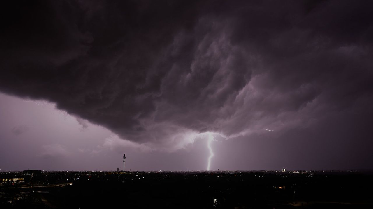
CLEVELAND, Ohio – Cloud cover and damp streets are just the beginning of what could become a much more intense weather stretch for northeast Ohio and parts of northwest Pennsylvania. A strengthening system moving in from the west is expected to energize the atmosphere over the next 24 hours, setting the stage for widespread thunderstorms, heavy rainfall, and potential flooding concerns.
Today will feel relatively mild compared to what’s ahead. Temperatures are forecast to climb near 66°F with scattered showers developing through the afternoon. Southwest winds will gradually increase, adding a breezy feel by late day. While rainfall may be hit-or-miss initially, conditions will steadily grow more unstable.
The bigger concern arrives Tuesday.
Afternoon highs could surge to around 78°F ahead of an approaching cold front. That jump in warmth will help fuel stronger storms by late afternoon and especially Tuesday night. Storm coverage is expected to increase sharply after sunset, with widespread thunderstorms likely across Cuyahoga County and extending east into areas of northwest Pennsylvania.
Periods of heavy rain, gusty winds, and lightning are expected. Drivers traveling along I-90, I-71, and I-77 should prepare for sudden visibility drops and water pooling on roadways. Evening commuters may face slow-moving traffic as downpours intensify. Travel delays are possible, particularly during peak hours.
By Tuesday night, storms may become more organized, increasing the risk of strong wind gusts and brief but intense rainfall. Areas near Lake Erie could see enhanced activity due to local atmospheric conditions. Low-lying neighborhoods and poor drainage zones are especially vulnerable to standing water if heavier rain bands repeatedly move over the same areas.
The unsettled pattern doesn’t end there.
Wednesday brings cooler air behind the front, with highs dipping near 51°F. However, lingering showers and storms remain likely throughout the day. Some storms could still produce gusty winds and additional downpours, keeping the flood threat elevated in spots that have already received significant rainfall.
Thursday trends warmer again, with temperatures rebounding into the mid-70s. Yet the atmosphere remains active, with another 60–70% chance of showers and storms developing. Repeated rounds of rainfall across several days could saturate soil quickly, increasing runoff and the possibility of localized flooding during both morning and evening commutes.
Residents across Cleveland and surrounding communities should monitor conditions closely, secure outdoor items ahead of stronger wind gusts, and allow extra time for travel. If driving during heavy rain, slow down and avoid attempting to cross flooded roadways.
Looking ahead into early April, temperatures are expected to trend warmer overall, but the broader Great Lakes region appears locked into a more active storm pattern. Additional advisories or alerts could be issued if stronger storm cells develop.
Five-Day Outlook for Cleveland, Ohio:
- Monday: Chance of showers, high near 66°F
- Tuesday: Chance of storms, high near 78°F
- Tuesday Night: Widespread storms likely, low near 43°F
- Wednesday: Showers and storms likely, high near 51°F
- Thursday: 60–70% chance of showers/storms, high near 76°F
Are you already noticing darkening skies or building clouds in your area? Conditions may change quickly as this system strengthens.