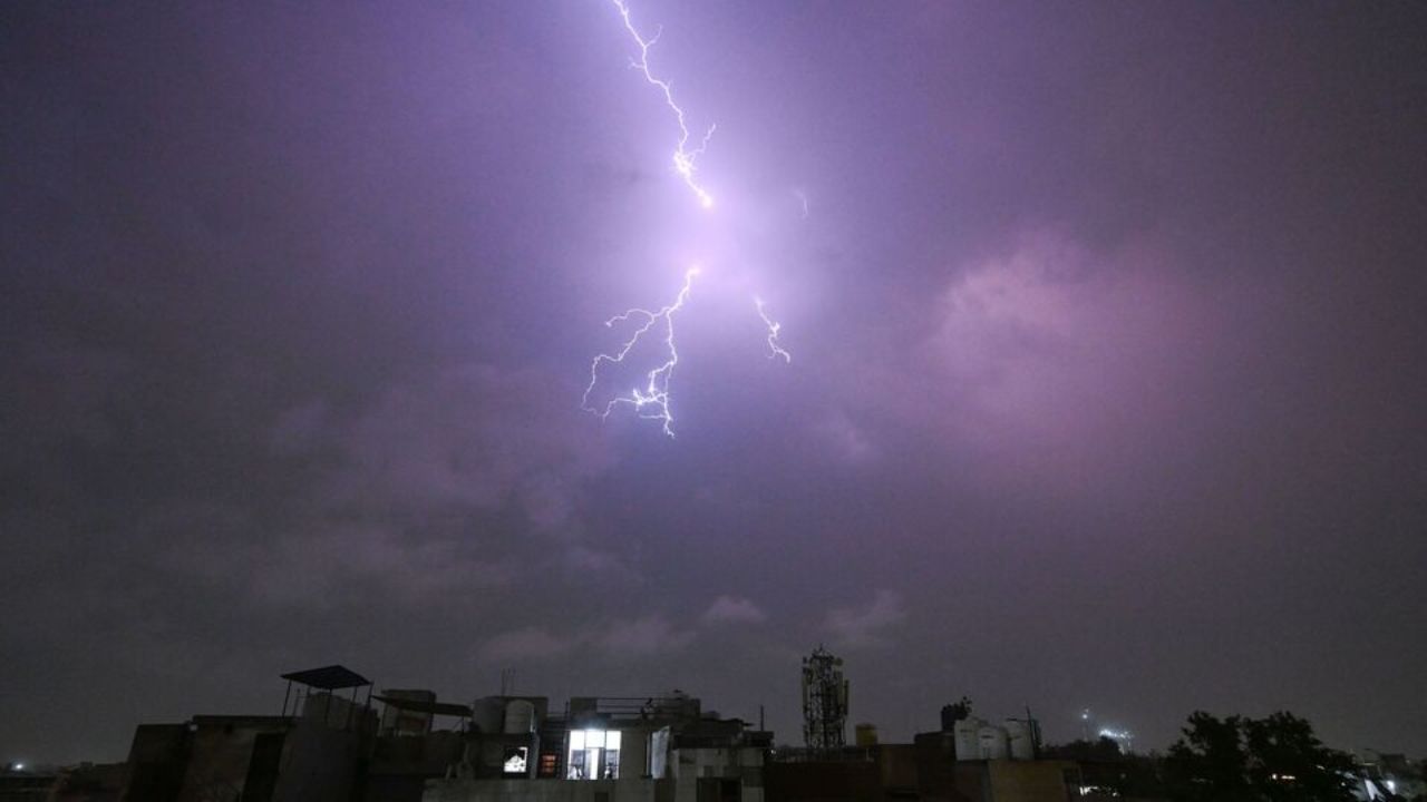
A stretch of warm, moisture-filled air is settling over Louisville, setting the stage for a soggy and potentially disruptive midweek weather pattern. While conditions remain dry early today, temperatures are quickly climbing into the upper 70s, and the atmosphere is primed for repeated rounds of showers and thunderstorms through Wednesday night and into Thursday.
Across central Kentucky, a steady southwest wind is pulling in humid air from the south. Afternoon highs are expected near 78°F today, with gusts approaching 25–30 mph at times. The warmth will continue Tuesday, pushing temperatures into the low 80s before storm activity becomes more widespread.
The first round of unsettled weather develops late Tuesday. Isolated to scattered showers and thunderstorms are expected to form Tuesday evening and overnight, with rain chances near 30 percent. While coverage may be limited at first, any storm could produce brief heavy rainfall and gusty winds.
Travelers along Interstate 64, Interstate 65, and Interstate 71 should be prepared for rapidly changing road conditions after sunset Tuesday. Slick pavement and reduced visibility could create slower commutes, especially during heavier bursts of rain.
The most significant weather impact arrives Wednesday. Rain probabilities surge to around 90 percent, with widespread showers and thunderstorms expected throughout the day. Periods of steady rainfall combined with embedded thunderstorms could cause ponding on roads, minor localized flooding in low-lying areas, and slower travel during both the morning and evening rush hours.
Storm activity remains likely Wednesday night, with rain chances holding near 80 percent. Additional waves of showers and thunderstorms may linger into Thursday, with rain probabilities fluctuating between 30 and 70 percent. Some storms could produce brief downpours capable of overwhelming storm drains, particularly in urban areas.
Humidity levels will stay elevated through the end of the week, creating muggy conditions even as daytime highs hover in the low 80s. This active spring pattern suggests more disturbances could move through the Ohio Valley in the coming days. Forecast adjustments and possible advisories may be issued if storms intensify or rainfall totals increase.
Residents planning outdoor events, construction work, or travel around the Louisville metro area should monitor updates closely and allow extra time for midweek commutes. Quick weather shifts are possible, especially during thunderstorm development.
Extended Five-Day Outlook for Louisville
Monday: Partly sunny, high near 78°F
Tuesday: Warm and partly sunny, high near 83°F
Tuesday Night: 30% chance of storms, low around 66°F
Wednesday: Showers and thunderstorms likely (around 90%), high near 80°F
Thursday: Continued storm chances (30–70%), high near 82°F
As April approaches, this stretch of unsettled weather serves as a reminder that spring in Kentucky can shift quickly from warm sunshine to heavy rain in a matter of hours. Staying weather-aware will be key through midweek.