CHICAGO, IL – A dangerous “ring of fire” weather pattern is bringing a dual threat of extreme triple-digit humidity and severe holiday weekend thunderstorms to the Chicago area.
Dangerous Heat Before The Storms
An extreme heat warning remains in effect as high temperatures soar into the 90s. With dew points climbing past 70, the “feels-like” heat index is expected to push well over 100 degrees, creating oppressive outdoor conditions.
Weather experts describe the current pattern as a “ring of fire,” where thunderstorms continuously ignite around a massive dome of hot, humid air pushing into Illinois.
Timing the Holiday Thunderstorms
While daytime hours remain mostly dry, the storm timeline is expected to impact several outdoor holiday activities:
- Thursday Night: Scattered showers and storms develop after 8:00 p.m. and will last through Friday morning.
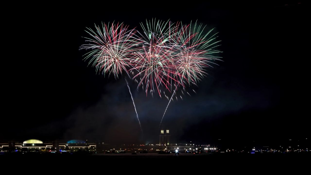
- Friday Afternoon & Night: A second cluster of severe storms is expected. A lingering storm threat around 9:00 p.m. on Friday could directly threaten local Fourth of July fireworks shows.
- The Weekend: Scattered storm chances continue Saturday morning and afternoon, with isolated rain extending into Sunday.
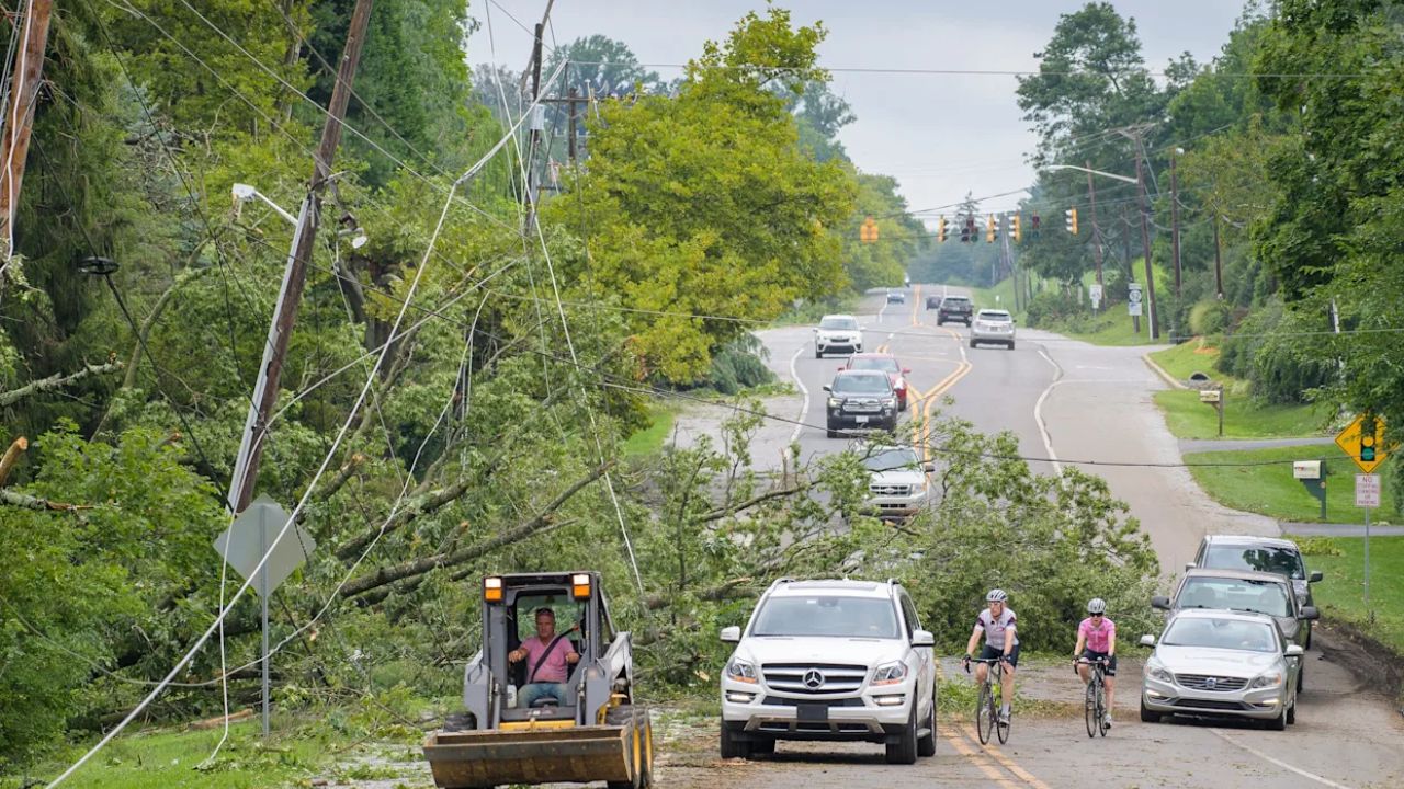
Primary Threats: Winds and Flash Flooding
The National Weather Service has placed the Chicago area under a Level 1 (Marginal) to Level 2 (Slight) risk for severe weather.
While damaging winds up to 60 mph and isolated hail are possible, meteorologists warn that heavy downpours leading to rapid ponding on roads will be the most significant hazard for holiday drivers.
Relief on the Horizon
The extreme heat warning is scheduled to expire overnight. Despite the frequent storm disruptions, the National Weather Service notes there will still be plenty of dry periods over the weekend before temperatures finally cool down into the more comfortable 80s by early next week.