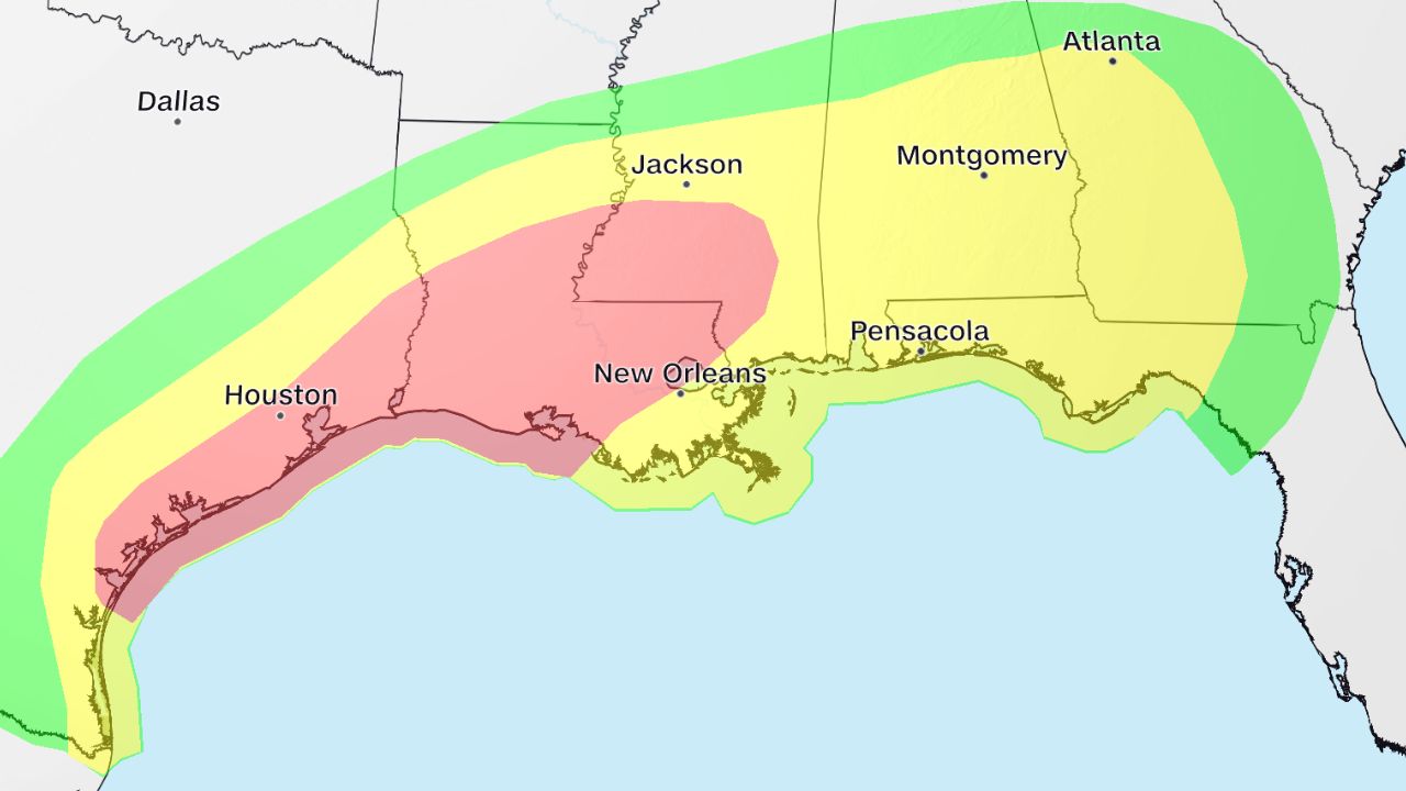
ANCHORAGE, AK — The National Weather Service (NWS) has issued a series of urgent winter storm warnings as Alaska prepares for a staggering 58 inches of snow, while the lower 48 states brace for a “weather whiplash” that could drop temperatures by as much as 40 degrees in a single day.
From the rugged terrain of Alaska to the bustling corridors of the Northeast, nearly 100 million Americans are under alerts for freezing temperatures and hazardous travel conditions this weekend.
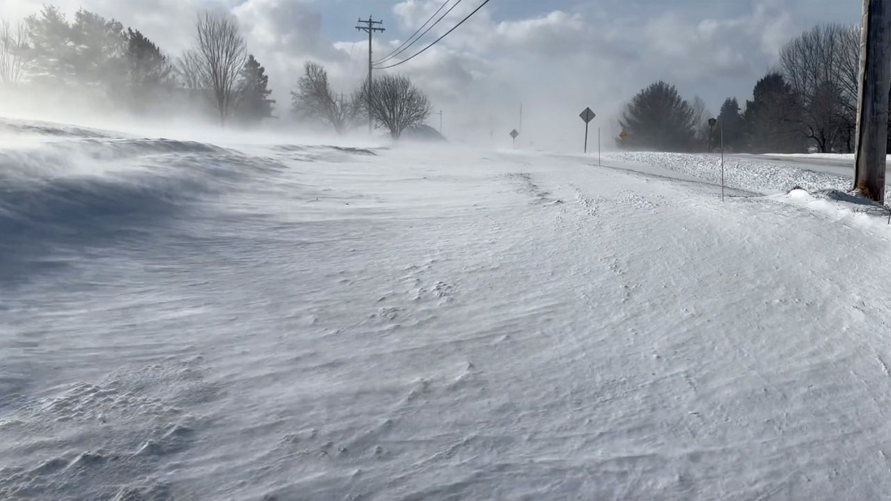
Alaska Braces for 5-Foot Snow Burial
A massive Arctic system is currently stalling over Alaska, with warnings in effect through Monday afternoon. The sheer volume of snow is historic, even for the Last Frontier.
- The Totals: Accumulations across affected regions are expected to reach up to 58 inches—nearly 5 feet—by Monday evening.
- High-Impact Zones: The Eastern Alaska Range, Yukon Delta Coast, and Middle Yukon Valley are under the heaviest warnings.
- The Conditions: In addition to the snow, wind gusts of up to 45 mph are creating “whiteout” conditions. The NWS warned that visibility could drop below a quarter-mile, making travel “very difficult to impossible.”
Residents in communities like Kotlik, Scammon Bay, and Hooper Bay are being urged to stay off the roads and keep emergency kits—including food, water, and flashlights—in their vehicles.
The “Why”: Alaska’s Coldest Winter in 50 Years
This April snow isn’t just a fluke. Climate scientists report that Alaska just endured its coldest December-through-March period in a half-century. High pressure over Russia has acted as a “cold air pump,” repeatedly driving frigid Arctic flows across the state. This stored cold is now being pushed south by a sharp dip in the jet stream.
Lower 48: A 40-Degree Temperature “Whiplash”
While Alaska digs out from under 5 feet of snow, the contiguous United States is experiencing one of the most dramatic temperature reversals of the year.
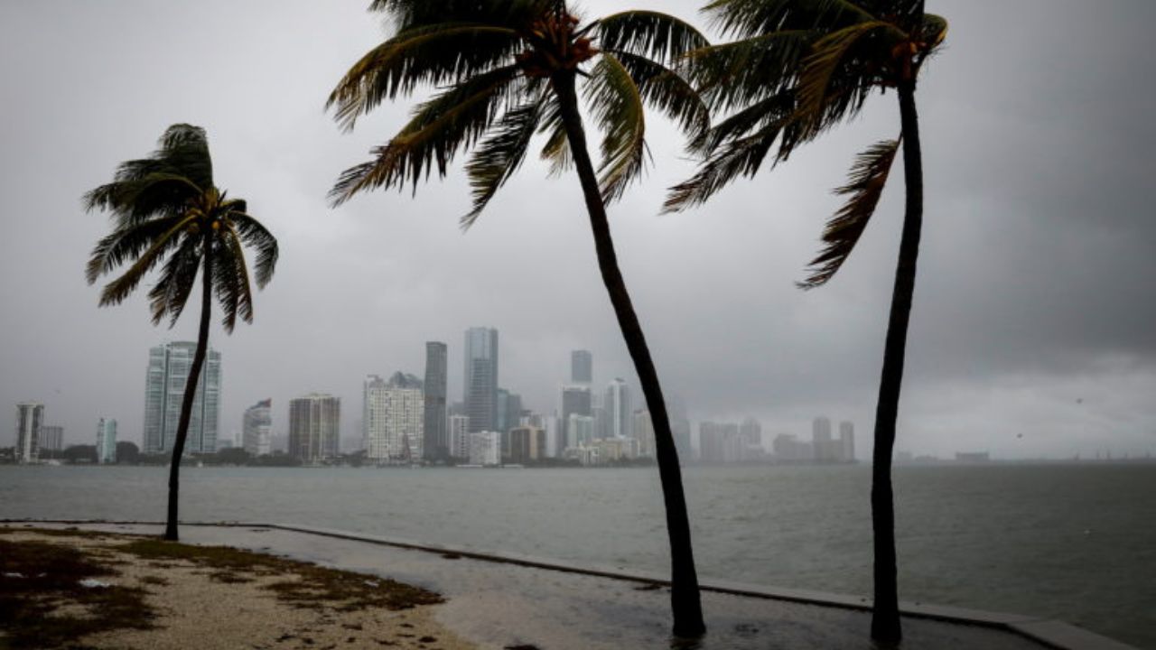
Just days ago, cities like Washington D.C. were basking in record-breaking 92-degree heat. By early next week, those same regions will see temperatures plunge into the 30s and 40s.
- The Plains & Rockies: Salt Lake City hit a high of 77 degrees on Wednesday, only to see snow by Thursday.
- Agricultural Threats: The NWS has warned of widespread “blossom loss” in Utah and the surrounding regions, as an early bloom triggered by winter warmth is now being killed off by the sudden freeze.
- The East Coast: Cities from Boston to Philadelphia are preparing for a plunge that will send residents searching for winter coats they thought were tucked away for the season.
NWS Safety Recommendations
With 100 million people facing a sudden return to winter-like conditions, the NWS is advising the public to:
- Protect Plants: Cover sensitive outdoor vegetation or bring potted plants inside.
- Check Pipes: Ensure outdoor faucets are drained or covered in areas expecting a hard freeze.
- Travel Prep: If traveling through Alaska or the Rockies, notify others of your route and carry cold-weather gear.
What’s the weather like in your backyard? Did you go from shorts to parkas in 24 hours? Share your local temperature and photos in the comments below!