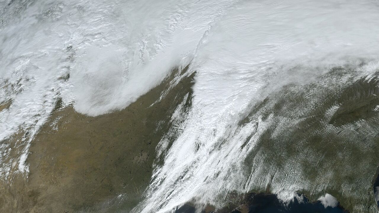
CHICAGO, Ill. — Residents across parts of northern Illinois and northwest Indiana could face strong to severe thunderstorms Sunday afternoon, with meteorologists warning that a brief tornado threat may develop near Kankakee and areas along the Illinois–Indiana border.
Forecasters say a combination of warm, unstable air and an advancing cold front could create conditions favorable for damaging storms capable of producing strong winds, hail, and isolated tornadoes. The greatest concern is expected during the late afternoon and early evening hours as thunderstorms rapidly develop and move across the region.
Drivers traveling south of Chicago are urged to stay alert as storms may bring sudden downpours, strong wind gusts, and dangerous lightning, potentially creating hazardous conditions on major highways.
Storms Expected to Develop Sunday Afternoon
According to the National Weather Service in Chicago, clusters of thunderstorms are expected to begin forming Sunday afternoon before moving northeast across northern Illinois.
Meteorologists say the storms could move quickly, with speeds ranging between 40 and 50 miles per hour, allowing severe weather conditions to spread rapidly through multiple communities.
Forecasters say the strongest storms could develop where two weather boundaries converge across parts of northeastern Illinois and northwest Indiana.
This interaction between atmospheric systems may create an environment capable of supporting more intense storms in localized areas.
Tornado Threat Focused Near Illinois–Indiana Border
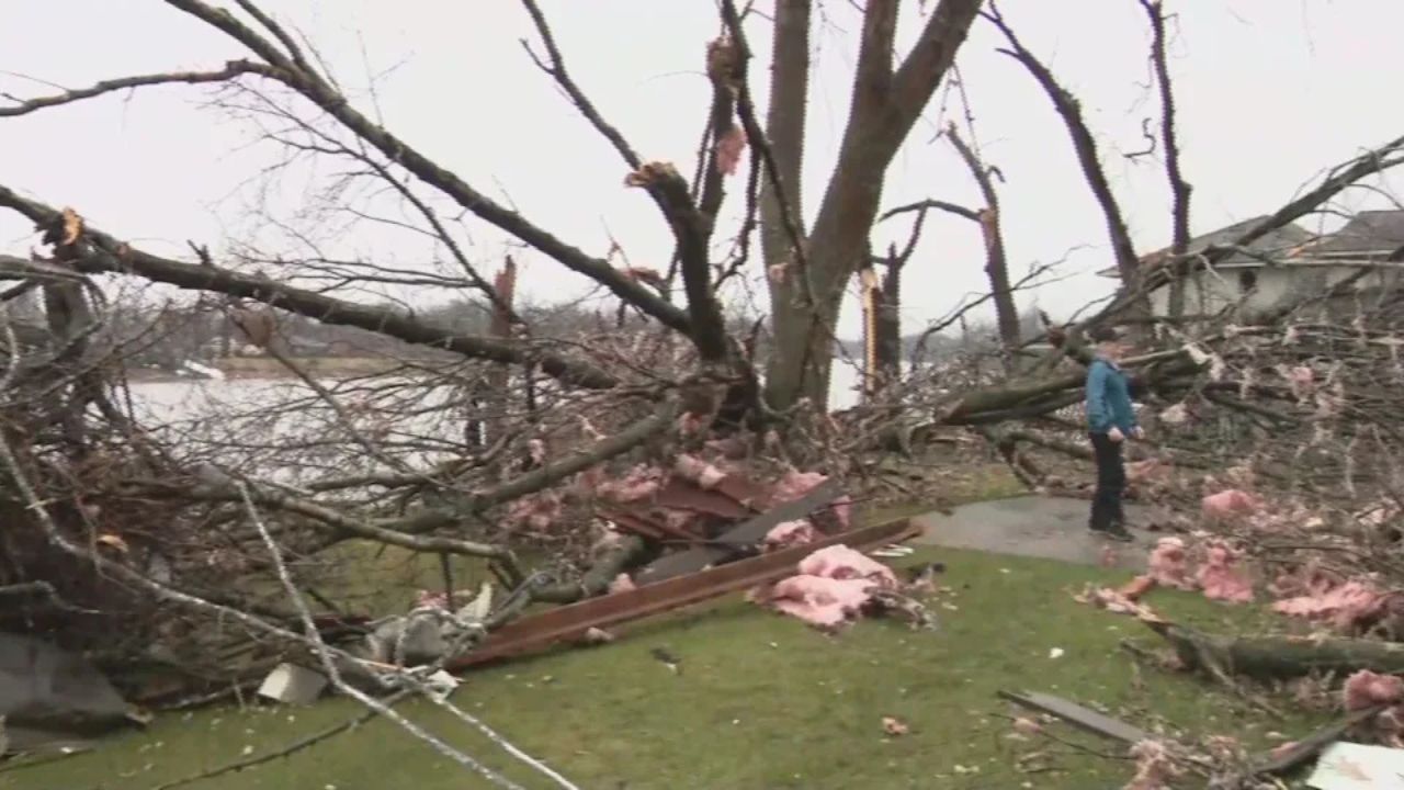
While the primary threat from Sunday’s storms is expected to be damaging winds, forecasters say a brief tornado cannot be ruled out, particularly in areas east of Interstate 55.
Communities including Kankakee County and parts of northwest Indiana are located within the corridor where atmospheric conditions may become favorable for rotating storms.
Meteorologists say tornado potential could increase where the advancing cold front meets warm, unstable air near the Illinois–Indiana border.
Although widespread tornado activity is not expected, isolated tornado formation is possible if storm cells strengthen along the boundary.
Read Also: California Mountain Biker Dies Weeks After Venomous Rattlesnake Bite on Popular Irvine Trail
Residents in these areas are encouraged to stay weather-aware and be prepared to take shelter if warnings are issued.
Damaging Winds Remain Primary Threat
Despite the tornado risk, forecasters emphasize that damaging wind gusts remain the most likely severe weather hazard associated with Sunday’s storms.
Strong winds could reach levels capable of downing tree limbs, causing localized power outages, and creating debris hazards.
Some storms may also produce hail and intense lightning as they move through the region.
Heavy rainfall may accompany the storms as well, which could briefly reduce visibility for drivers and create slick road conditions.
Several Communities Could See Strongest Storms
Areas most likely to experience stronger storms include Kankakee, Bradley, Bourbonnais, and Watseka in Illinois, along with communities farther east toward Valparaiso and Rensselaer in northwest Indiana.
These locations fall within the zone where forecasters say storm interactions could briefly intensify, increasing the risk of severe weather.
Timing for the strongest storms is currently expected during the late afternoon into early evening hours Sunday.
Travel Could Become Hazardous
Motorists traveling through the region may encounter rapidly changing weather conditions as storms move through the area.
Major routes including Interstate 57, Interstate 65, and U.S. Route 45 could experience sudden heavy rain, gusty winds, and reduced visibility during storms.
Drivers are advised to slow down during heavy rainfall and remain alert for strong crosswinds and debris on roadways.
Weather conditions could deteriorate quickly as storms move at high speeds across the region.
Residents Urged to Stay Weather-Aware
Meteorologists are encouraging residents in the affected areas to review severe weather safety plans ahead of Sunday afternoon.
Officials recommend having multiple ways to receive weather alerts, such as mobile alerts, weather radios, or local news updates, especially in areas where tornado potential may briefly increase.
Additional watches or warnings could be issued if conditions strengthen as storms begin to develop.
With storms expected to move quickly, staying informed will be key for residents across the I-55 corridor and the Illinois–Indiana border region.
How is the weather shaping up where you live? Share your thoughts and experiences respectfully in the comments and join the conversation.