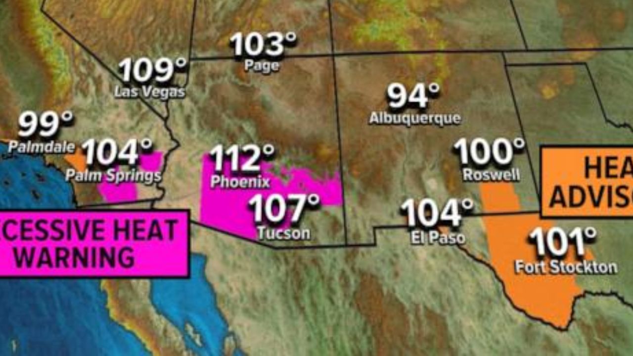
SAN ANTONIO, TEXAS — After setting a historic early-season heat streak, South Texas is preparing for a sharp weather change as a strong cold front is expected to bring thunderstorms, hail, damaging winds, and heavy rainfall across the region this weekend.
Since Feb. 25, San Antonio has recorded nine consecutive days with high temperatures reaching at least 85 degrees — the longest such streak this early in the year in city history. If skies clear sooner than expected Friday afternoon, that streak could extend to 10 days.
However, a significant shift in weather conditions is on the way.
Friday Forecast: Warm, Muggy and Mostly Dry
Friday will begin with mild and humid conditions across South Texas.
In San Antonio:
- Morning temperatures will sit near 70 degrees.
- By late morning, temperatures will rise into the mid-70s.
- Afternoon highs are expected to reach 82–83 degrees.
- If clouds clear earlier than expected, mid-80s remain possible.
There is a 20–30% chance of isolated showers or drizzle through midday, but most areas are expected to remain dry.
Storm development is more likely in Central and North Texas late Friday afternoon and evening. Some storms in those regions may produce large hail and damaging winds. San Antonio’s storm chances Friday remain relatively low, near 20%.
Saturday: Cold Front Brings Strong to Severe Storms
The primary weather concern arrives Saturday as a relatively strong cold front pushes southeast across Texas.
Before the front arrives, San Antonio will likely see temperatures climb into the upper 70s to low 80s by early afternoon.
By mid-afternoon, the front is expected to move into the metro area, triggering a line of strong to severe thunderstorms.
Rain chances increase dramatically to 80–90% Saturday afternoon and evening.
According to the National Weather Service Storm Prediction Center, the Interstate 35 corridor — including Waco, Austin, and San Antonio — is under a Level 2 out of 5 risk for scattered severe thunderstorms.
Potential hazards include:
- Large hail
- Damaging wind gusts
- Heavy rainfall
- A low but possible isolated tornado threat
The severe weather risk extends west into the Hill Country and east toward the Houston metro area.
Flooding Concerns Overnight Into Sunday
As moisture continues streaming northward from the Gulf, thunderstorms may persist overnight into early Sunday.
Some slow-moving storms across South Texas could drop multiple inches of rainfall, increasing the risk of localized flash flooding.
By Sunday afternoon and evening:
- Storm coverage is expected to decrease.
- High temperatures will be noticeably cooler.
- Afternoon highs will likely remain in the low 70s.
Early Next Week: More Storm Chances
Storm activity may not be over after the weekend.
Monday carries a 30–40% chance of additional rainfall in San Antonio.
By Tuesday, a strong low-pressure system is forecast to approach Texas, potentially triggering another round of thunderstorms.
Tuesday evening into early Wednesday could bring:
- Additional hail
- Damaging winds
- Heavy rainfall
Details regarding the timing and intensity of next week’s storms are still evolving.
From Record Heat to Active Storm Pattern
The abrupt shift from near-record warmth to a severe weather setup highlights the volatility of late-winter weather in Texas.
After nine straight days of 85-degree highs — an unprecedented early-year streak — residents across South and Southeast Texas should prepare for rapidly changing conditions this weekend.
Stay weather-aware, monitor local forecasts, and be prepared for possible severe weather alerts.