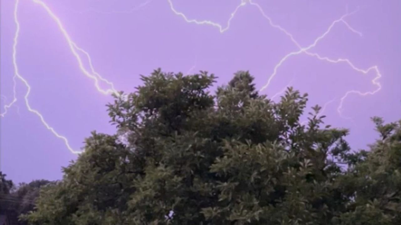
NASHVILLE, Tenn. – What began as a calm and slightly humid stretch across Middle Tennessee is quickly transitioning into a more unsettled spring pattern. While skies are allowing temperatures to rise comfortably into the upper 70s, increasing moisture and strengthening winds are setting the stage for scattered thunderstorms through midweek.
Monday brings a relatively quiet setup. Highs are expected near 79°F with southwest winds ranging from 10 to 15 mph and gusts reaching up to 25 mph. That steady breeze is pulling warm, moist air into the region — a key ingredient for storm development over the next several days.
By Tuesday, conditions grow warmer and more unstable. Afternoon temperatures climb to around 84°F under partly sunny skies. While much of the daytime remains dry, a slight chance of showers and thunderstorms develops late in the day, especially after sunset. Areas across Davidson County and surrounding communities could see isolated downpours during the evening commute. Even brief storms may create slick roads and sudden visibility drops.
The more significant weather shift arrives Wednesday. Rain and thunderstorm chances increase to between 40% and 60%, particularly after midday. Drivers along major corridors including I-40, I-65, and I-24 should anticipate slower traffic, ponding on roadways, and occasional wind gusts near storms. While widespread severe weather is not currently expected, scattered thunderstorms could produce brief heavy rain and lightning.
Storm chances continue into Thursday, with a 30% to 50% likelihood of showers and thunderstorms during the day. Activity will likely be scattered rather than continuous, but passing downpours may interrupt outdoor plans, sporting events, and travel around the metro area. Temperatures remain warm, reaching the mid-80s, adding fuel to the unsettled atmosphere.
As we move toward early April, warmer conditions are expected to persist. However, this active spring pattern suggests additional systems could move through the region, bringing periodic rain and thunderstorm chances in the days ahead.
Residents are encouraged to monitor changing conditions, especially if planning travel during peak commute hours. Keep an eye on updated forecasts and allow extra time if rain develops.
Five-Day Outlook for Nashville:
Monday: Partly sunny, high near 79°F
Tuesday: Partly sunny, high near 84°F
Tuesday Night: 20% chance of thunderstorms, low near 66°F
Wednesday: 40–60% chance of showers and thunderstorms, high near 84°F
Thursday: 30–50% chance of showers and thunderstorms, high near 85°F
Are you noticing increasing clouds or wind where you are in Middle Tennessee?