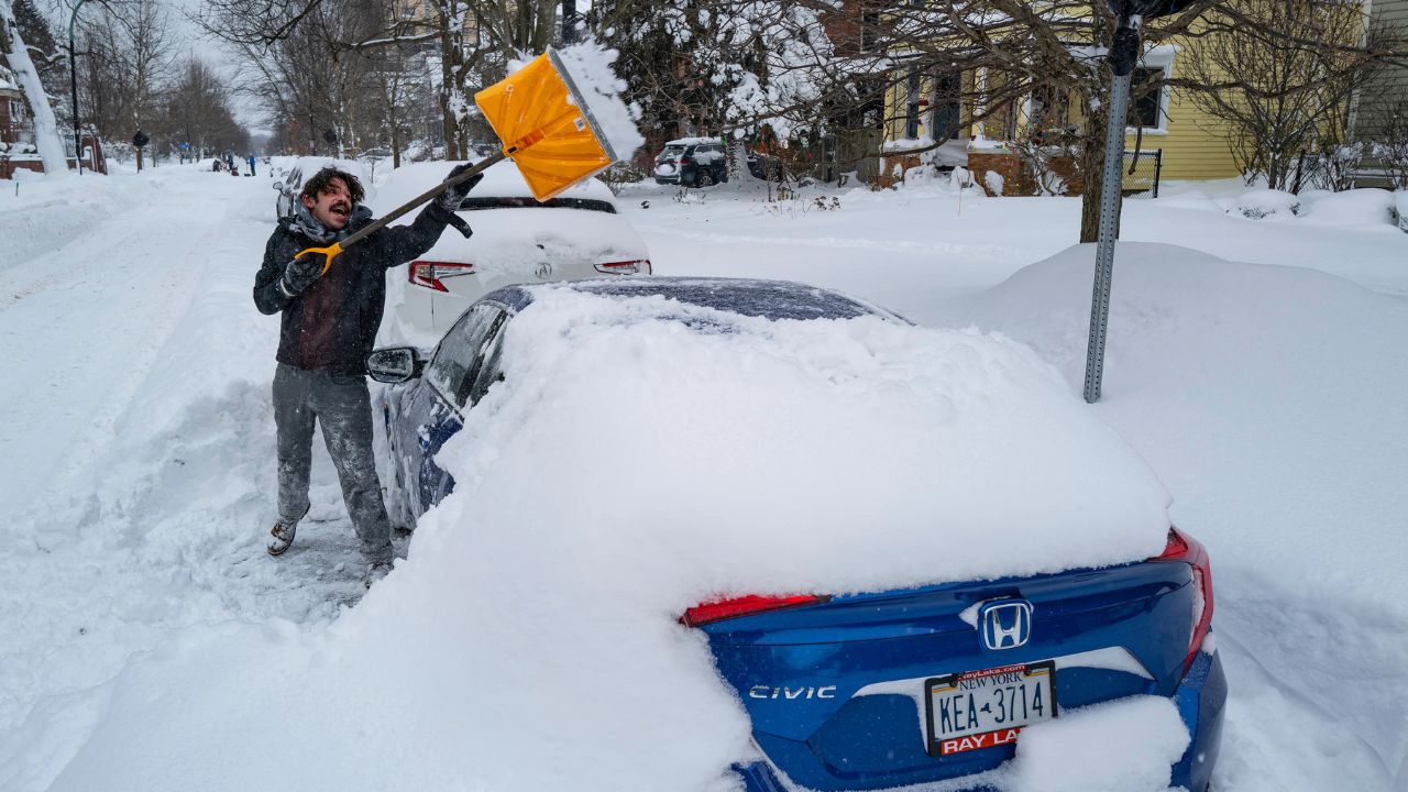
Milwaukee, Wisconsin – A powerful late-season winter storm is expected to move into southern Wisconsin this weekend, bringing ice, heavy snow, and strong winds that could significantly disrupt travel from Saturday night through Monday.
Forecasters warn that conditions could deteriorate quickly across much of the region, especially along Interstate 94 and other major highways, as the system intensifies.
According to the National Weather Service in Milwaukee/Sullivan, a Winter Storm Watch has been issued for large portions of southern Wisconsin.
The watch remains in effect from Saturday evening through Monday afternoon, with multiple types of hazardous winter weather possible.
Cities included in the alert area include Milwaukee, Madison, Kenosha, Racine, Waukesha, Janesville, Beloit, Fond du Lac, and Sheboygan.
Storm Could Begin With Ice and Wintry Mix
Meteorologists say the storm may start as a dangerous mix of sleet, freezing rain, and snow Saturday night into Sunday.
Ice accumulation is expected to be most likely along and north of Interstate 94, while areas farther south may briefly see rain before colder air returns.
Forecasters say freezing rain and sleet could create slick roadways and hazardous driving conditions early in the storm.
Even small amounts of ice can cause major travel issues and increase the risk of vehicle accidents.
Heavy Snow Expected by Sunday Night
As colder air moves into the region, the storm is expected to transition into moderate to heavy snowfall by Sunday evening.
Snow may continue into Monday afternoon, potentially producing significant accumulation in parts of southern Wisconsin.
Strong winds could combine with falling snow to produce blowing snow and whiteout conditions in some areas.
Visibility could drop to less than one-quarter mile at times, particularly along open highways.
Major Highways Could Be Impacted
Travel conditions may become especially dangerous along several major roadways, including:
- Interstate 94
- Interstate 41
- Interstate 43
Officials warn that wind-driven snow could make roads difficult or even impossible to travel on during the storm’s peak.
Power Outages Possible
In addition to travel hazards, the combination of ice accumulation and heavy snow may also impact power infrastructure.
Ice-covered tree limbs could break under the weight of snow, potentially leading to isolated power outages across southeastern and south-central Wisconsin.
Forecasters say the worst conditions may occur during the Monday morning commute, when snow and strong winds could significantly slow travel.
Read Also: Strong Winds and Mountain Snow Could Create Travel Problems Across Southwest Idaho This Weekend
Residents Urged to Monitor Forecast Updates
Meteorologists emphasize that the exact track of the storm is still developing, which means snowfall totals and ice impacts may change as the system approaches.
Residents are encouraged to monitor weather updates throughout the weekend and prepare for possible travel disruptions.
Additional Winter Storm Warnings or Weather Advisories may be issued as confidence in the forecast increases.
Are you preparing for this winter storm in Wisconsin? Let us know what conditions look like in your area and how you’re preparing for the storm in the comments.