LOCAL DESK — Residents are reaching for their light jackets this morning as the first Sunday of May brings unseasonably cool temperatures and brisk winds across the area.
Despite the sunshine, high temperatures today will struggle to leave the 50s, keeping conditions significantly cooler than the May average. A sharp northwest wind is adding an extra bite to the air, with gusts reported as high as 35 miles per hour.
The Weekly Outlook: From Chill to Summer Heat
If you aren’t a fan of the cold, hang tight—the weather is about to take a dramatic turn. Meteorologists are tracking a shift in wind direction starting tonight that will act as a “heat pump” for the region.
- Tonight: Winds will shift out of the southwest, bringing in a much warmer air mass.
- Monday: Expect a noticeable jump as temperatures surge into the 60s and 70s.
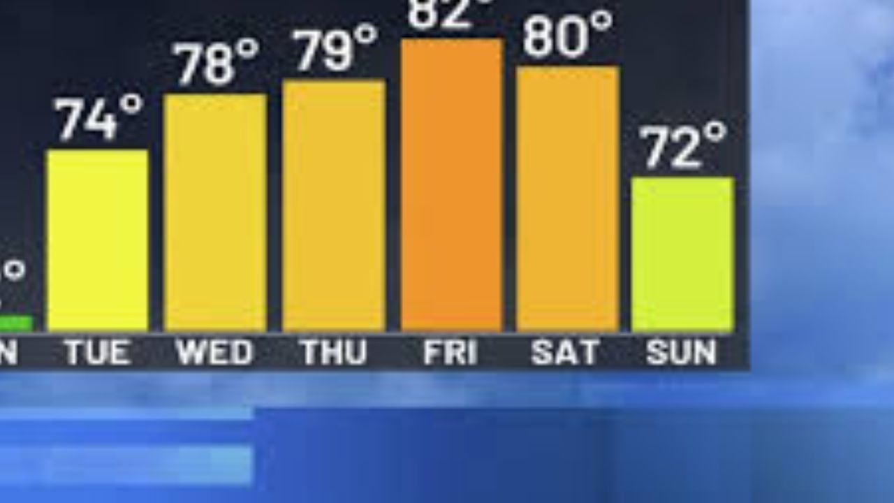
- Tuesday: The peak of the warmup arrives. A steady southwest breeze could push afternoon highs near 80 degrees in several parts of the state, offering a brief preview of summer.
Weekly Forecast Summary
| Day | Expected High | Sky Conditions | Key Feature |
|---|---|---|---|
| Sunday | 50s | Partly Sunny | Gusty NW winds (35 mph) |
| Monday | 60s/70s | Sunny/Clear | Significant warmup begins |
| Tuesday | Near 80 | Mostly Sunny | Warmest day of the week |
| Wednesday | 70s | Increasing Clouds | Rain chances return late |
Export to Sheets
Rain Returns Mid-Week
The summer-like stretch won’t last forever. By late Wednesday, a new system is expected to move in, bringing the return of rain showers. This system will effectively “wash away” the heat, leading to a much cooler and damper Thursday.
What do you think, locals? Are you enjoying this crisp spring air, or are you ready for that 80-degree Tuesday?
Share your plans for the warm weather in the comments below!