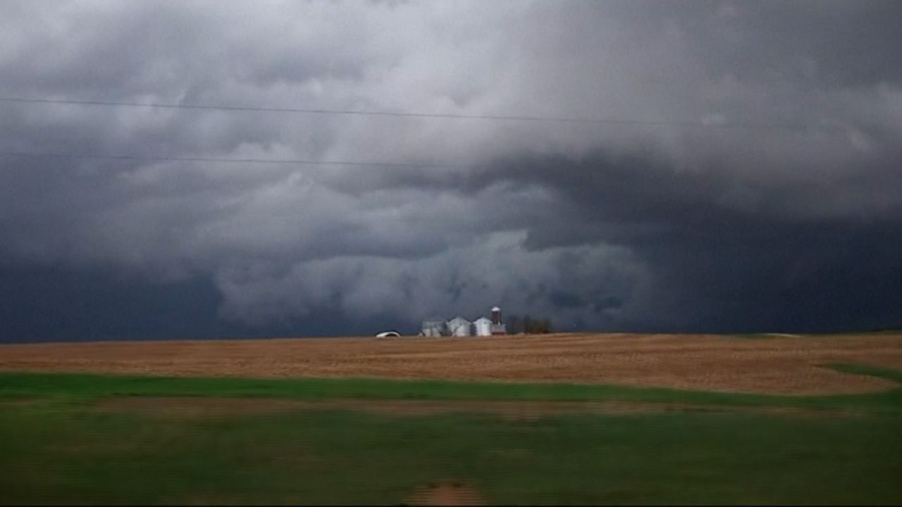
CENTRAL UNITED STATES — A widespread and potentially dangerous stretch of severe thunderstorms is expected to impact much of the central U.S. through the middle of next week, with multiple rounds capable of producing tornadoes, damaging winds, large hail, and flash flooding.
Forecasters warn that some of the strongest storms could occur during the overnight hours — a particularly dangerous time for tornado development because many people are asleep and less likely to receive warnings.
Residents, travelers, and motorists across the region are urged to stay alert and monitor weather updates as conditions evolve.
Friday Night: Major Severe Weather Threat Along I-35 Corridor
Meteorologists at AccuWeather say the most impactful period of the week is expected from Friday evening through Friday night.
The highest risk zone stretches along the Interstate 35 corridor and includes:
- Dallas, Texas
- Oklahoma City, Oklahoma
- Wichita, Kansas
- Kansas City, Missouri
- Des Moines, Iowa
Strong winds in the lower and middle levels of the atmosphere are expected to enhance storm intensity.
All modes of severe weather are possible Friday night, including:
- Large hail
- Damaging wind gusts
- Flash flooding
- Tornadoes
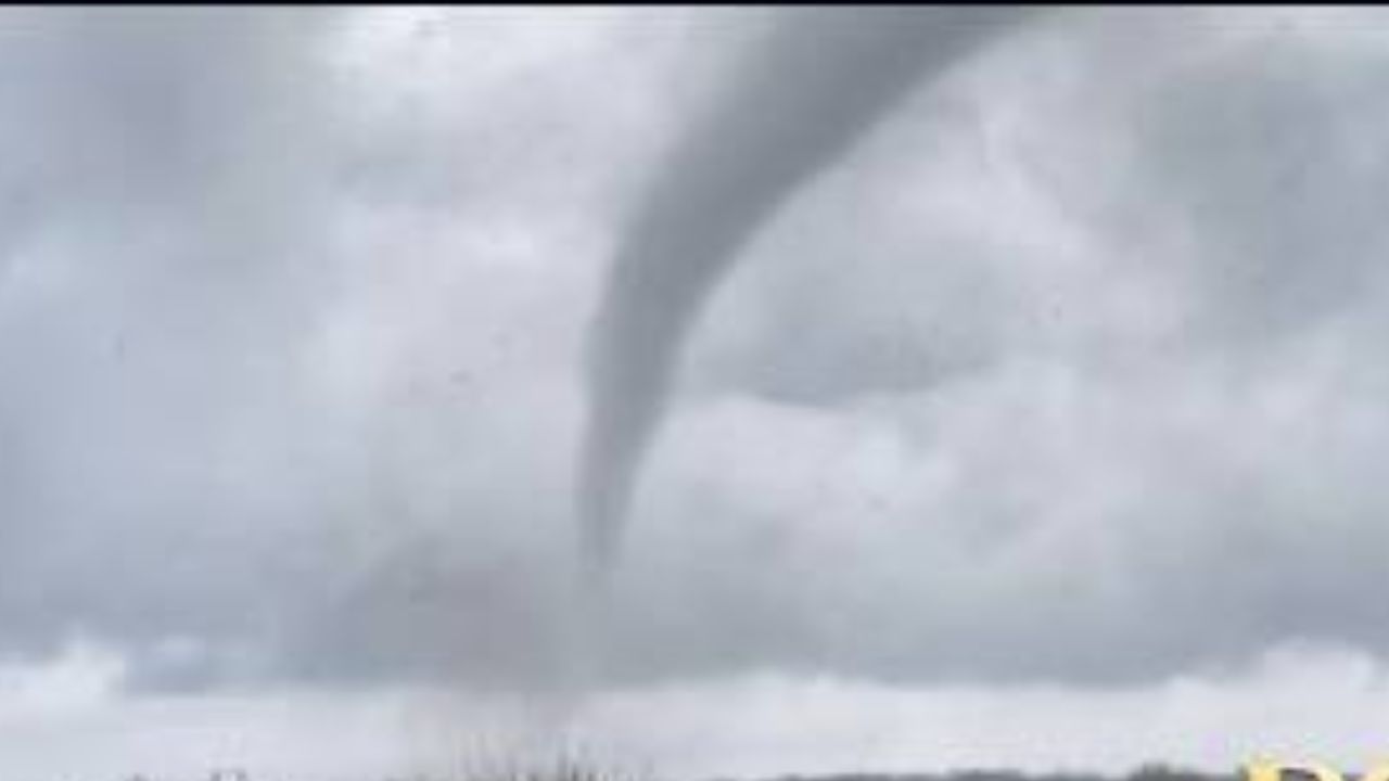
While not every storm will produce a tornado, a few twisters may develop from near Dallas northward into central Iowa. Some could exceed EF1 strength and remain on the ground for several minutes.
Because storms may persist well after dark, the nocturnal tornado risk is a major concern.
Saturday: Severe Threat Splits Into Two Regions
On Saturday afternoon and evening, the severe weather threat is forecast to split into northern and southern zones.
Northern Zone
This area will include:
- Ohio
- Western Pennsylvania
- Western and central New York
- Southeastern Michigan
- Southwestern Ontario
- Northern Kentucky
- Eastern Indiana
Storms in this zone could bring:
- Strong wind gusts
- Hail
- Brief torrential downpours
- Urban flooding
For some areas, this may mark the first significant severe weather event of the year.
Southern Zone
The second severe weather corridor will extend from western Tennessee southward into South Texas, impacting cities such as:
- Houston
- Dallas
- Austin
- San Antonio
- Shreveport
- Little Rock
- Memphis
- Jackson
Primary threats include:
- Wind gusts potentially reaching 75 mph
- Hail
- Localized flash flooding
Although tornadoes are not expected to be widespread Saturday, isolated brief tornadoes remain possible. Severe storms could continue a few hours after sunset.
Sunday to Monday: Flooding Concerns Remain
From Sunday into Monday, storm activity is expected to ease somewhat in intensity.
Areas from Texas to Florida, Georgia, and the Carolinas may still experience heavy downpours and gusty storms, but most activity is expected to remain below severe levels.
The primary concern during this period will be flooding, especially in parts of Texas and Louisiana.
Tuesday and Wednesday: Severe Weather Risk Returns
Another round of severe weather is anticipated Tuesday and Wednesday.
Forecasters indicate that:
- The threat may extend well past dark.
- Multiple tornadoes are possible.
- Strong jet stream winds and Gulf moisture could fuel powerful storms.
The severity and timing of next week’s storms will depend on a developing system over the Southwest and northwestern Mexico.
If the system moves more quickly, severe weather may shift east sooner. If it slows, the threat could be delayed or positioned farther west.
Meteorologists caution that the setup could produce the first widespread severe weather outbreak of the season across portions of the South Central and Southeastern United States.
Travel and Aviation Impacts
As storms approach major airports in affected cities, flight ground stops and delays are likely at both departure and arrival locations.
Travelers are advised to check airline alerts and monitor weather conditions before heading to airports.
Safety Recommendations
With severe storms expected to impact large population centers, especially during nighttime hours, residents are encouraged to:
- Enable emergency weather alerts on mobile devices
- Have multiple ways to receive warnings
- Identify safe shelter locations in advance
- Avoid driving through flooded roadways
Nocturnal tornadoes can be especially dangerous due to reduced visibility and delayed warning response.
Conclusion
A multi-day stretch of severe weather is expected to impact a broad swath of the central United States, bringing the risk of damaging storms, flooding, and tornadoes through midweek.
Forecasters emphasize that conditions can change rapidly and that preparedness will be critical as the storm pattern unfolds.