State College, Pennsylvania – Low clouds and patchy fog are starting the day across Centre County, creating reduced visibility on local roads and around campus as the morning commute gets underway. While conditions may briefly improve late this morning, a wetter and colder weather pattern is expected to take control heading into the weekend, raising concerns for rain-soaked travel and a possible rain-to-snow mix by Sunday.
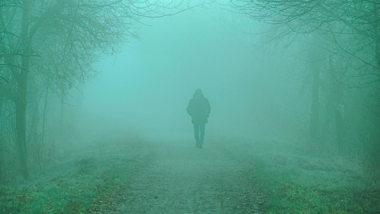
Fog and Low Clouds Affecting the Morning Commute
Early Thursday begins with dense low clouds and areas of fog, particularly in valleys and along ridge-adjacent roadways. Visibility may drop quickly in spots, especially on less-traveled roads and near wooded areas. Drivers along Route 322, Route 26, and local State College streets should use low-beam headlights and allow extra following distance during the morning hours.
According to the National Weather Service in State College, fog is expected to linger through mid-morning before gradually lifting. As the fog thins, skies may turn partly sunny for a short time, offering a brief break before the next weather system approaches.
Clouds Increase as Rain Develops Later Today
By late morning into early afternoon, cloud cover will begin to thicken again as moisture increases across central Pennsylvania. Although winds remain light, the atmosphere becomes more unsettled heading into the second half of the day.
Rain chances increase later this afternoon and into the evening, with showers becoming more widespread overnight. High temperatures near 47 degrees keep conditions seasonable for January, but damp roads and lower visibility could make evening travel slower than usual.
Friday: Mild but Wet Conditions Continue
Friday brings a more organized round of rain across State College and surrounding communities. Showers are expected to develop by afternoon and persist into the evening, keeping roads wet during peak travel times. Temperatures rise into the low 50s, which is relatively mild for this time of year.
Despite the warmer air, steady rainfall may lead to ponding on roadways and slick intersections, particularly in areas with heavy traffic. Rain gradually tapers Friday night, but lingering moisture on pavement may remain an issue after dark.
Saturday: Cooler Air Moves In With More Showers
Saturday marks a transition toward colder conditions. Another round of showers is expected as cooler air filters into the region. Daytime highs fall into the mid-40s, signaling a shift toward a more winter-like pattern.
As temperatures drop Saturday night into the mid-30s, any remaining moisture could begin to refreeze. Bridges, overpasses, and shaded roads may become slick late at night, even if rainfall amounts remain light.
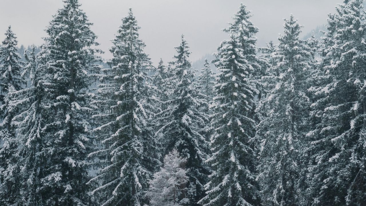
Sunday: Rain May Mix With Snow
Sunday presents the most notable winter concern of the upcoming stretch. Rain may mix with snow during the morning hours, particularly as colder air deepens across central Pennsylvania. While significant accumulation is not expected at this time, even light snow or slushy patches could create hazardous travel conditions.
High temperatures stay near 39 degrees, limiting melting and allowing slick spots to persist, especially during the morning and evening hours. Conditions gradually improve later in the day as precipitation tapers off.
Early Next Week: Colder but Drier
By Monday, the weather turns quieter but colder. Skies become mostly sunny, with highs near 35 degrees. Overnight lows drop into the 20s, leading to frosty mornings across the region.
While early next week looks dry, winter remains active, and additional systems could affect central Pennsylvania as the season continues.
Travel and Safety Tips for the Weekend
Drivers and pedestrians should prepare for rapidly changing conditions over the next several days. Key safety reminders include:
- Slow down in fog and allow extra stopping distance
- Watch for wet leaves and slick pavement during rain
- Be cautious of refreezing overnight, especially on bridges
- Stay alert for light snow or slush early Sunday
Five-Day Outlook for State College, Pennsylvania
- Today: Fog early, then partly sunny, high near 47
- Friday: Showers likely, high near 52
- Saturday: Showers, cooler, high near 46
- Sunday: Chance of rain and snow, high near 39
- Monday: Mostly sunny, colder, high near 35
Conclusion
State College is heading into a foggy start, a wet finish to the workweek, and a colder, wintry weekend. While heavy snow is not expected, changing temperatures and lingering moisture could still create slick travel conditions. Staying weather-aware and planning ahead will be key over the next several days.
Seeing fog, rain, or snowflakes where you are? Share what conditions look like near you in the comments below.