Pittsburgh, Pennsylvania – Two extreme weather events defined 2025 across the Upper Ohio Valley, leaving behind destruction, loss of life, and a stark reminder of the region’s growing vulnerability to high-impact storms. Catastrophic flash flooding in Wheeling, West Virginia, followed by a powerful spring derecho in late April, stood out as the most severe and consequential weather episodes of the year.
Meteorologists with the National Weather Service in Pittsburgh said both events were notable not only for their intensity but also for how rapidly they unfolded, overwhelming infrastructure and testing emergency response systems across multiple states.
Catastrophic Wheeling Flood Becomes Deadliest Event of the Year
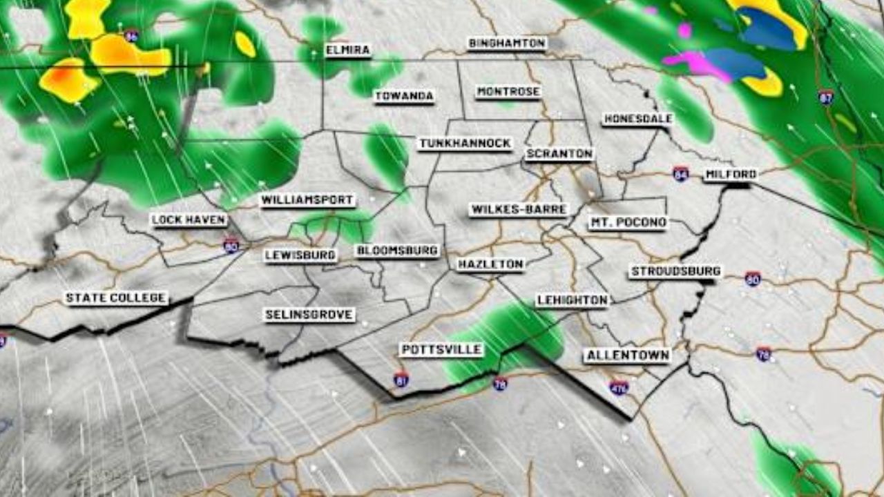
The most tragic weather disaster of 2025 struck in mid-June, when torrential rainfall triggered catastrophic flash flooding across Ohio County, West Virginia, including the city of Wheeling. According to the National Weather Service, nine people were killed, making it the deadliest single flash-flood event in the Upper Ohio Valley since 1990.
Forecasters explained that the flooding developed over a very short time span. A warm, moisture-rich air mass lingered over the region for several days, setting the stage for excessive rainfall. When intense downpours began, the saturated ground was unable to absorb the water, leading to rapid runoff and sudden inundation of creeks, streams, roads, and low-lying neighborhoods.
Rainfall statistics highlighted just how extreme the event was. Flooding was reported on nearly two-thirds of the days in June, with precipitation totals running more than three standard deviations above normal in parts of northern West Virginia and western Pennsylvania. Meteorologists noted that such anomalies are rare and indicate rainfall far outside typical seasonal patterns.
Emergency officials said the speed of the flooding left little time for evacuation in some areas, underscoring the dangers posed by flash floods, particularly at night or in hilly terrain where water levels can rise within minutes.
April Derecho Brings Historic Wind Damage
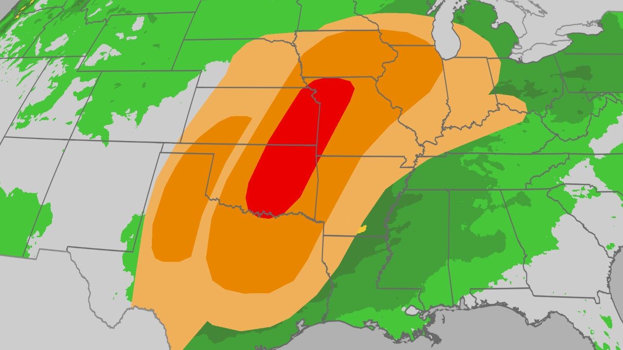
Earlier in the year, a very different but equally destructive weather system swept through the Upper Ohio Valley. On April 29, a powerful line of thunderstorms moved east from Ohio, intensifying as it crossed into northern West Virginia and western Pennsylvania.
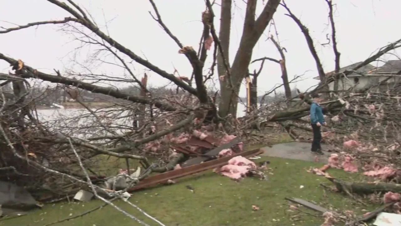
The Storm Prediction Center later classified the system as a derecho, a long-lived windstorm capable of producing widespread damage over hundreds of miles. The storm generated damaging straight-line winds, downed trees and power lines, and caused structural damage across multiple communities.
One of the most notable impacts occurred at Pittsburgh International Airport, where wind gusts reached levels among the strongest ever recorded at the facility. Meteorologists said the storm’s intensity led to a record number of thunderstorm wind damage reports for April, highlighting its unusual strength for the early spring season.
Utility companies across the region reported widespread power outages, with some customers without electricity for days as crews worked to clear debris and restore service.
A Year That Highlighted High-End Weather Risks
The National Weather Service emphasized that the Wheeling flood and April derecho together illustrate the increasing impact of high-end weather systems in the Upper Ohio Valley. While the region has always experienced severe weather, forecasters say the frequency of extreme rainfall events and intense windstorms is becoming more apparent.
Meteorologists stressed that preparedness and timely warnings remain critical. Flash floods and derechos can develop rapidly, leaving narrow windows for protective action. Officials continue to urge residents to pay close attention to watches and warnings, especially during periods of prolonged rainfall or severe thunderstorm outbreaks.
Safety Lessons from 2025’s Extreme Weather
Emergency managers say both events reinforced important safety lessons for residents across western Pennsylvania, eastern Ohio, and northern West Virginia:
- Never underestimate the speed and power of flash flooding, even in familiar areas
- Avoid driving through flooded roadways, where water depth and current strength can be deceptive
- Treat severe thunderstorm warnings with the same seriousness as tornado warnings during high-wind events
- Have multiple ways to receive weather alerts, especially overnight
These precautions, officials say, can save lives when minutes matter.
Looking Ahead
As the Upper Ohio Valley moves into future storm seasons, forecasters continue to analyze 2025’s extreme events to improve warning systems and public awareness. While weather patterns will always vary, experts agree that understanding past disasters is key to reducing future risks.
Residents are encouraged to review emergency plans, stay informed through official forecasts, and take warnings seriously as severe weather threats evolve.
Share your experiences in the comments below.