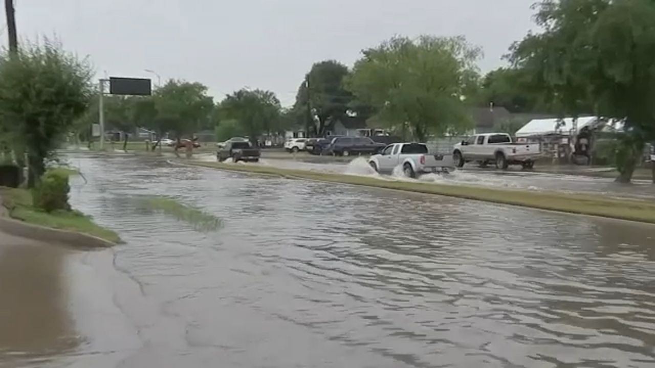
HOUSTON, TX — Southeast Texas residents are waking up to a soggy and potentially dangerous commute this Tuesday. A slow-moving area of low pressure is currently dumping rain across the region, with weather officials warning that street flooding could become a major headache for Houston drivers throughout the day.
If you are heading out the door, rain gear is no longer optional—it’s a necessity. Here is a breakdown of what to expect over the next 48 hours and how this storm system will impact your neighborhood.
Tuesday: Commute Delays and Flooding Concerns
The primary wave of moisture began pushing into Southeast Texas early Tuesday morning. Forecasters are particularly concerned about the window starting around 7:00 AM, just as the morning rush hour peaks. Thunderstorms are expected to intensify during this time, creating low visibility and slick conditions on major freeways like I-10, I-45, and the 610 Loop.
The Rainfall Totals:
- West of Houston: This area is expected to see the brunt of the system, with rainfall totals predicted between 2 and 4 inches.
- Houston Proper: While the city is generally forecast to receive 0.5 to 1 inch, localized downpours could easily double those numbers in a short amount of time.
- The Main Threat: Street flooding. Because the rain will be “off and on” all day, drainage systems may struggle to keep up during the heavier bursts.
Wednesday: The Storms Aren’t Finished Yet
While Tuesday may feel like the peak of the system, Wednesday brings its own set of challenges. The morning is expected to be relatively calm, offering a brief reprieve for residents to assess any standing water. However, another round of storms is forecast to ramp up by Wednesday afternoon and evening.
Because this weather pattern is being driven by an area of low pressure rather than a traditional cold front, the rain will be more “hit and miss.” This means one neighborhood could remain dry while the next street over deals with a torrential downpour and localized “trouble spots.”
Looking Ahead: A Humid Warm-Up
The good news for those tired of the rain is that the organized storm systems are expected to clear the area after Wednesday night. By Thursday, the low-pressure system will have moved on, leaving Southeast Texas in a much more stable—albeit warmer—pattern.
- Rain Chances: Dropping to a lingering 20% through the end of the week.
- Temperature Spike: After spending Tuesday and Wednesday in the mid-70s, temperatures will climb into the lower-80s by Thursday.
- Weekend Outlook: Expect a stretch of warmth and typical Texas humidity as we head into the weekend, with no major storm systems currently on the horizon.
Safety Reminders for Houston Drivers
- Turn Around, Don’t Drown: Never drive through water if you cannot see the pavement. Most flood-related deaths occur in vehicles.
- Headlights On: Texas law requires headlights to be on when windshield wipers are in use.
- Check the Drains: Ensure your neighborhood storm drains are clear of debris to prevent water from backing up into yards or homes.
Stay safe out there, Houston! How is the rain looking in your specific neighborhood? Are you seeing any high water on the roads? Drop your local weather updates and photos in the comments below to help your neighbors stay informed.