San Francisco, California — A rare late-season storm swept across California this week, bringing widespread rainfall, mountain snow and a temporary reduction in wildfire concerns just as the state enters a period traditionally associated with increasing fire danger.
The storm delivered moisture to much of Northern and Central California, while higher elevations of the Sierra Nevada Range saw fresh snowfall, creating unusual late-May weather conditions across the state.
Rain Brings Relief to Drying Landscapes
Many areas across California received between a quarter-inch and one inch of rain, providing valuable moisture to landscapes that have been drying out during the spring.
The rainfall comes at an important time as vegetation across the state becomes increasingly vulnerable to ignition during the early stages of wildfire season.
According to fire experts, the storm has temporarily reduced the immediate threat of large wildfire outbreaks.
“The rain has wetted the landscape and made it less flammable, and should prevent large, destructive wildfires in coming days,” said Brent Wachter, a fire meteorologist with the U.S. Forest Service in Redding.
The added moisture is particularly beneficial for Northern California, where fire concerns typically increase rapidly as temperatures rise.
Temporary Relief Expected to Fade Quickly
Despite the welcome rainfall, meteorologists caution that the benefits may only last for a short period.
Forecasters expect warm and dry weather to return next week, which could quickly reverse the gains made by the recent precipitation.
Mr. Wachter noted that vegetation is expected to dry out again as temperatures increase.
As a result, fire officials continue encouraging residents to remain vigilant as California moves closer to the peak of wildfire season.
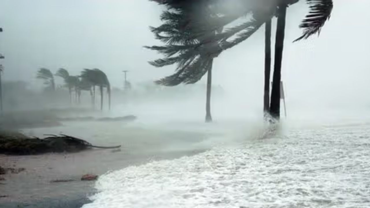
Thunderstorms, Hail and Heavy Rain Sweep Through State
The storm system began moving into California on Monday night, bringing a surge of unusually chilly air.
On Tuesday, thunderstorms moved through the Central Valley, while parts of the greater Sacramento area experienced brief but intense bursts of rain and hail.
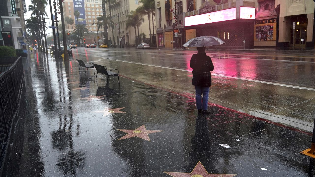
By Thursday morning, the weather system shifted toward the San Francisco Bay Area, where residents woke up to heavy rainfall before conditions gradually improved.
The rainfall totals in San Francisco were particularly noteworthy.
San Francisco Nears Record Rainfall Levels
By late Thursday morning, downtown San Francisco had recorded approximately 0.60 inches of rain, nearly matching the city’s average rainfall total for the entire month of May, which stands at 0.64 inches.
Weather officials reported that it was the most rainfall recorded on May 28 since recordkeeping began in 1849.
Despite the impressive totals, meteorologists emphasized that the rainfall was beneficial rather than dangerous.
“These are beneficial rains, nothing that causes flooding,” said Brian Hurley, a meteorologist with the Weather Prediction Center.
The storm continued moving southward toward Central California and the Los Angeles area, where only light showers and scattered sprinkles were expected.
Fresh Snow Extends Sierra Ski Season
While rain fell across lower elevations, the Sierra Nevada continued receiving snowfall.
Several inches of fresh snow accumulated in some mountain areas, helping replenish portions of the snowpack that had been steadily melting during the spring.
Forecasters Warn of Severe Storm Risk From Mid-Atlantic to Texas With 75 MPH Winds Possible
The snowfall proved especially welcome at Mammoth Mountain, one of California’s most popular ski destinations.
The resort received a light snowfall Wednesday before accumulating an additional three to five inches by early Thursday morning.
As a result, Mammoth Mountain announced it would remain open through at least June 7, extending its ski season thanks to the unexpected late-season snowfall.
Storm Moving Eastward
Forecasters expect the weather system to exit California by Thursday night before moving into Nevada, Utah and the Rocky Mountain region.
While the storm has delivered much-needed moisture and temporary wildfire relief, experts warn Californians should prepare for another return to warm, dry conditions in the days ahead.
Do you think California will see more unusual weather events like this in the future? Share your thoughts respectfully in the comments below.