Nome, AK – A powerful winter storm is expected to bring dangerous blizzard conditions to parts of western Alaska beginning Tuesday morning, with strong winds, blowing snow, and sharply reduced visibility impacting coastal and delta communities. Forecasters warn that travel could quickly become life-threatening in exposed areas as the storm intensifies.
The system, driven by a strong low pressure area moving in from the Bering Sea, is forecast to affect large stretches of the West Coast through midweek, prompting multiple warnings and advisories from weather officials.
Incident Overview
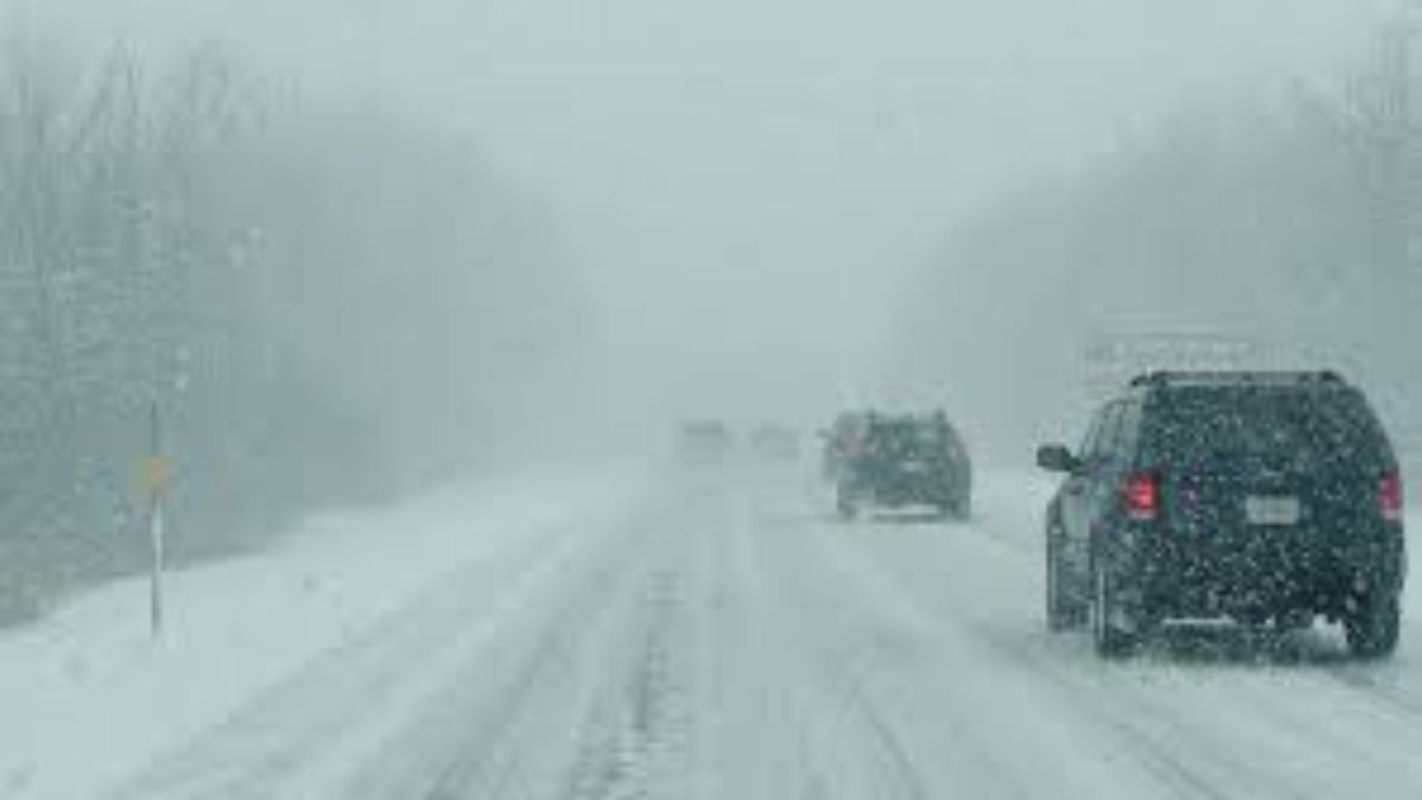
Meteorologists say the storm will be fueled by a deep Bering Sea low pushing east-northeast, generating sustained winds up to 55 mph along the coast and creating classic blizzard conditions. Combined with falling snow and existing loose snow cover, the winds are expected to cause widespread whiteout conditions, particularly in open coastal terrain.
Visibility may drop to near zero at times, making travel by road, snowmachine, or boat extremely dangerous.
Timeline of the Storm
The storm is expected to begin impacting the Lower Kuskokwim region Tuesday morning, before expanding northward and eastward through the day. The most severe conditions are forecast from late Tuesday through Wednesday morning, when winds are expected to peak.
Hazardous conditions could linger into Thursday, as winds slowly weaken but blowing snow continues in some areas. Residents are urged to prepare for a prolonged period of difficult weather rather than a brief event.
Blizzard Warning Areas
Blizzard Warnings have been issued for several regions, including:
- Bering Strait Coast
- Norton Sound Coast
- Yukon Delta Coast
- St. Lawrence Island
- Kuskokwim Delta
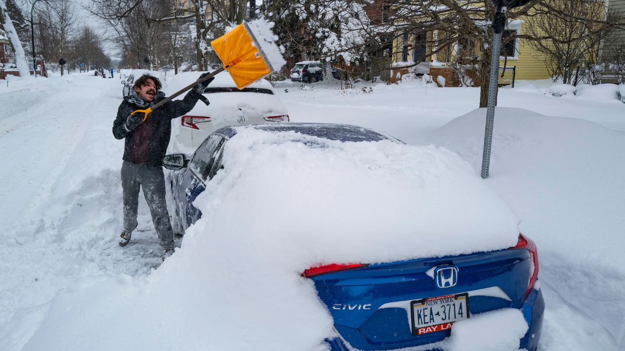
In these locations, forecasters expect 2 to 6 inches of snowfall, but officials stress that the real danger comes from strong winds and blowing snow, not just accumulation.
Winter Weather Advisories in Effect
Areas slightly farther inland are also expected to see hazardous conditions. Winter Weather Advisories are in place for:
- Central and Southern Seward Peninsula
- Central and Southern West Coast
In these regions, winds may reach 45 mph, with periods where visibility drops to a quarter mile or less during snow and blowing snow events.
Details From Weather Officials
According to the National Weather Service in Fairbanks, conditions may deteriorate rapidly once the storm arrives, leaving little time for travelers to react.
“Whiteout conditions could develop quickly, especially in exposed coastal and delta areas,” forecasters warned, noting that visibility may fall suddenly as winds intensify.
Officials also emphasized that even short trips could become dangerous if conditions worsen unexpectedly.
Travel and Safety Concerns
Authorities are urging residents to avoid unnecessary travel, particularly during peak wind periods. Snowmachines and small boats are especially vulnerable during blizzard conditions, where orientation can be lost in seconds.
Loose outdoor items should be secured, and households are encouraged to ensure emergency supplies are stocked in case of delays or disruptions. Those who must travel are advised to inform others of their plans and check updated forecasts frequently through the National Weather Service.
Broader Context for Western Alaska
Winter storms of this intensity are not uncommon along Alaska’s West Coast, but the combination of high winds, blowing snow, and extended duration increases the risk of accidents and emergency situations. Coastal communities and delta regions are particularly exposed due to flat terrain and proximity to the Bering Sea.
Weather officials caution that conditions can vary significantly over short distances, making localized forecasts critical for safety planning.
Conclusion
As the storm approaches, communities across western Alaska are being urged to take warnings seriously and prepare for rapidly changing conditions. With 55 mph winds, blizzard conditions, and poor visibility expected from Tuesday into midweek, caution and preparedness will be essential to staying safe.
Residents are encouraged to monitor official updates closely and adjust plans as needed. Share your experiences in the comments below.