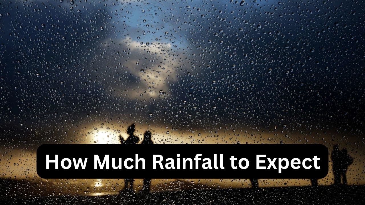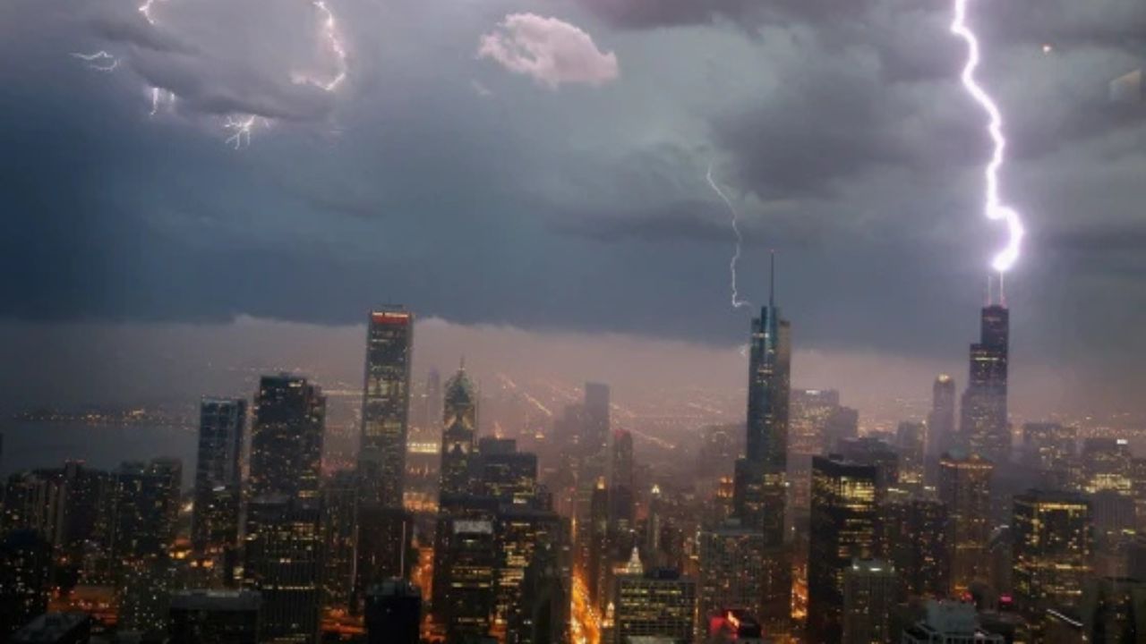
Chicago, Illinois — Storms are beginning to push toward the Chicago area this morning as forecasters warn residents to prepare for rain, gusty winds, and rapidly changing temperatures over the next several days.
Storms Moving Into the Chicago Area
A line of showers and thunderstorms that formed near the Mississippi River early this morning is now advancing into northern Illinois. Forecasters say the weather system will continue moving eastward into the Chicago region later today.
While the possibility of severe thunderstorms has not been completely ruled out, meteorologists say the threat currently appears limited due to the timing of the storms arriving during the morning hours.
Still, residents could experience periods of heavy rain, lightning, and gusty winds as the system moves through.
Gusty Winds and Warm Temperatures Continue
Despite the approaching storms, temperatures remained unusually warm overnight across much of the Chicago area, staying in the 70s through the early morning hours.
Forecasters say highs could still climb close to 80 degrees, although widespread cloud cover and rainfall may prevent temperatures from rising much further.
In addition to the rain, strong southwest winds are expected throughout the day, with gusts reaching up to 30 mph outside of thunderstorms.
Conditions are expected to stay breezy through the afternoon and evening hours, with the possibility of a few isolated showers lingering into tonight.
Another Round of Rain Possible Tuesday
The unsettled weather pattern is expected to continue into Tuesday, bringing another chance of showers and thunderstorms during the morning and early afternoon hours.
However, forecasters believe rainfall coverage may be more limited tomorrow, especially across northern parts of the region. Southern counties are expected to have a better chance of seeing measurable rainfall.
Temperatures on Tuesday are once again forecast to approach 80 degrees before a cold front sweeps through the area later in the day.
Sharp Cooldown Arrives Midweek
Behind the cold front, Chicago residents should prepare for a dramatic change in temperatures heading into Wednesday and Thursday.
Forecasters say Wednesday’s highs may struggle to even reach 60 degrees, marking a sharp drop compared to the warm conditions earlier in the week. Thursday is expected to remain cool as well, with temperatures only climbing into the low to mid-60s.
Areas near Lake Michigan are expected to feel even colder because of lake-enhanced cooling.
The sudden shift will bring a much more fall-like feel to the region after several days of unseasonably mild weather.
Warmer Weekend Ahead
The cooler stretch will not last long, as temperatures are expected to gradually rebound heading into the weekend.
Forecast models show highs returning close to 70 degrees on Friday, before warming further into the weekend. By Sunday, temperatures could once again reach around 80 degrees across parts of the Chicago area.
The next notable chance for rainfall after midweek is currently expected Friday night.
For now, Chicago residents are being urged to stay weather-aware as storms move through the area and major temperature swings arrive over the coming days.
Are you ready for Chicago’s dramatic weather change this week? Share your thoughts in the comments below.