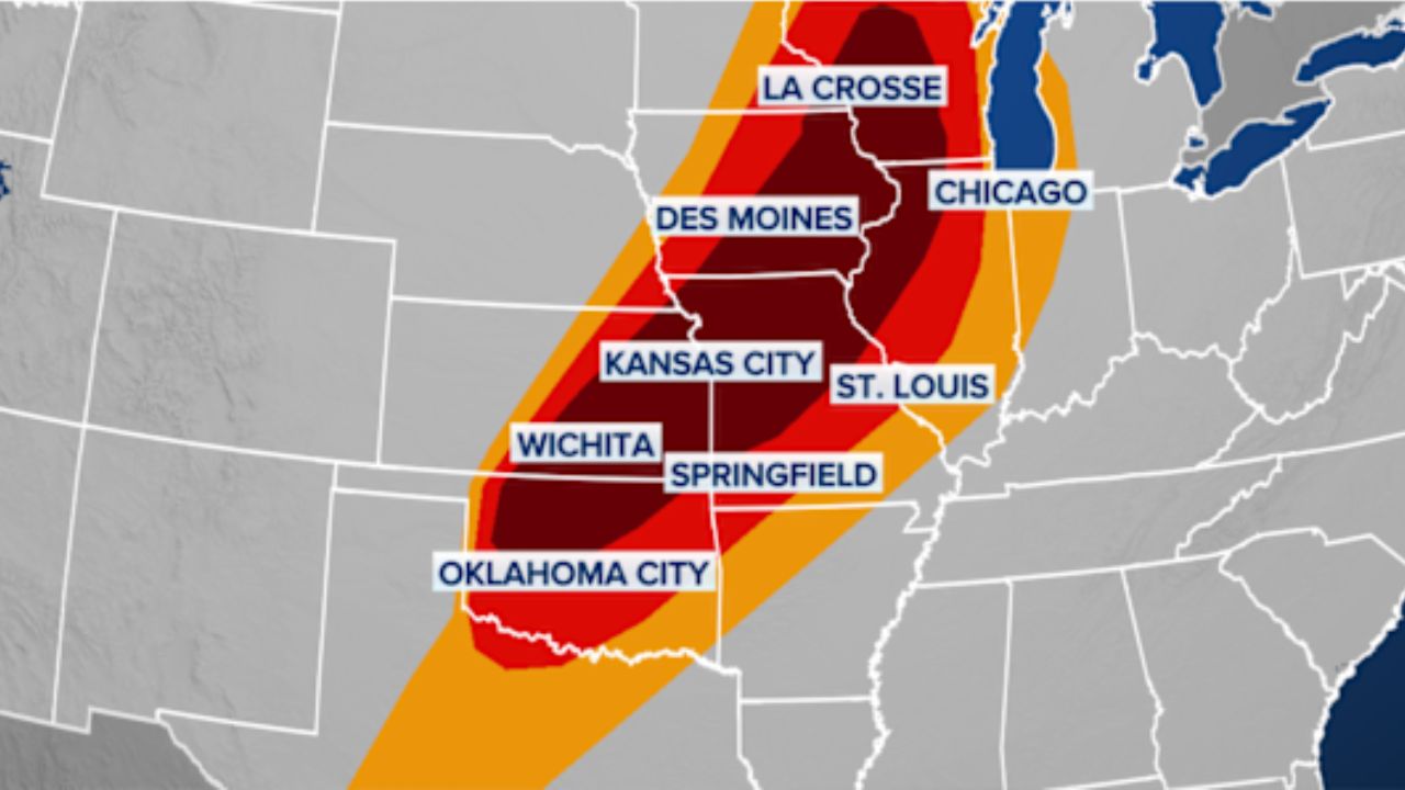
SPRINGFIELD, MO — Residents across Southern Missouri and Northern Arkansas are being urged to stay weather-aware this evening. The Storm Prediction Center (SPC) has officially issued a Severe Thunderstorm Watch for all areas south of the I-44 corridor, effective until 9:00 PM tonight.
The atmosphere has turned volatile as a line of widely scattered but powerful storms has begun to fire up along and east of Highway 65. With several reports of large hail already coming in, local officials are warning that the worst of the activity may still be ahead for communities in the path of these shifting cells.
Primary Threats: Hail, Wind, and Isolated Tornadoes
Meteorologists are identifying large hail as the most significant threat with today’s system. Initial reports indicate that some storms have already produced hail, with the expectation that upcoming cells could drop stones up to the size of ping-pong balls.
While hail is the main concern, it isn’t the only danger. The SPC warning highlights several key risks:
- Damaging Wind Gusts: Isolated bursts of wind could down power lines and tree limbs.
- Tornado Risk: While the probability remains low, a brief, isolated tornado cannot be entirely ruled out as the storms interact with local wind shear.
- Frequent Lightning: Intense electrical activity is expected with the stronger cells.
Timing and Path of the Storms
The storm activity began earlier this afternoon near the Highway 65 corridor and is currently on a slow but steady track toward the southeast. Experts expect the severe weather threat to gradually shift into Southeast Missouri and Northern Arkansas as the evening progresses.
Fortunately, the severe threat is expected to diminish by late evening. “We anticipate the activity to exit the region through the late afternoon and early evening hours,” stated the latest weather briefing. However, until the watch expires at 9:00 PM, residents should remain prepared to seek shelter.
How to Prepare and Stay Safe
With the threat of ping-pong ball-sized hail, property damage is a real possibility. Emergency management officials recommend the following immediate actions:
- Protect Your Vehicle: If possible, move cars under a carport or into a garage to avoid hail dents and shattered windshields.
- Secure Outdoor Furniture: Strong wind gusts can turn patio chairs and umbrellas into dangerous projectiles.
- Charge Your Devices: Ensure your phones are fully charged in case of localized power outages.
- Review Your Shelter Plan: Know exactly where to go—ideally an interior room on the lowest floor—if a tornado warning is issued for your specific area.
Community Impact
Local residents have already started sharing photos of hail on social media, emphasizing the “scattered” nature of these storms—where one neighborhood may see clear skies while another just miles away is pelted with ice.
The Missouri Department of Transportation (MoDOT) is also advising caution for commuters on I-44 and Highway 65, as sudden heavy downpours and hail can lead to slick roads and near-zero visibility.
Are you seeing hail in your area? Stay safe and let us know your location and the size of the hail in the comments below. Share this update with friends and family south of I-44 to keep them informed!