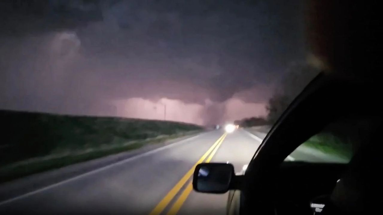
MIDWEST — A relentless series of storms tracking from the southern Rockies toward the Great Lakes is set to disrupt Easter weekend plans, bringing a multi-day threat of severe weather, including the risk of nighttime tornadoes and significant flash flooding.
While meteorologists are not forecasting a “major outbreak,” officials warn that even isolated tornadoes can be life-threatening, particularly as several rounds of storms are expected to hit after dark when visibility is low.
Thursday Night: Major Metro Areas on High Alert
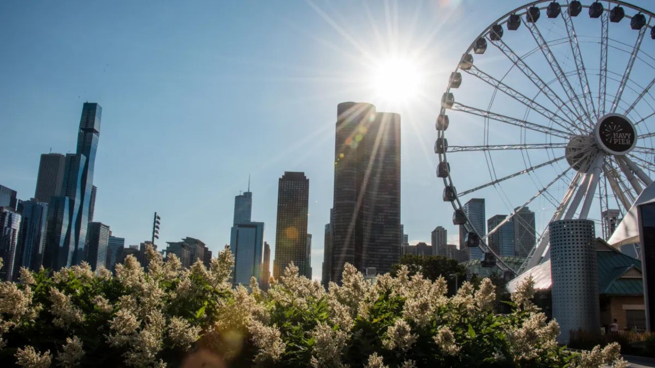
The storm system is expected to “pack a punch” through Thursday night, specifically targeting the Midwest. Residents in the following metro areas should prepare for significant travel disruptions and potential power outages:
- Chicago, IL
- St. Louis, MO
- Indianapolis, IN
- Detroit and Milwaukee
- The Quad Cities (IA/IL)
The primary threats remain high winds and damaging hail. However, a specific corridor from southeastern Iowa to northern Indiana and southwestern Michigan faces an elevated risk for tornado development within the most intense storm cells.
Friday & Saturday: Risk Expands South and East
As a new storm emerges from the Rockies on Friday, the danger zone will stretch from Central Texas into Ohio.
- Friday’s Focus: High winds and hail will be widespread, but the greatest tornado risk will shift to a corridor extending from southern Iowa down to northeastern Oklahoma, impacting cities like Oklahoma City and Kansas City.
- Saturday’s Swath: By Saturday, a massive 1,300-mile-long line of storms will form along a cold front. This line will stretch from western New York all the way to northeastern Texas. Expect vivid lightning, torrential downpours, and localized flash flooding through Saturday night.
Flash Flooding and Easter Sunday Outlook
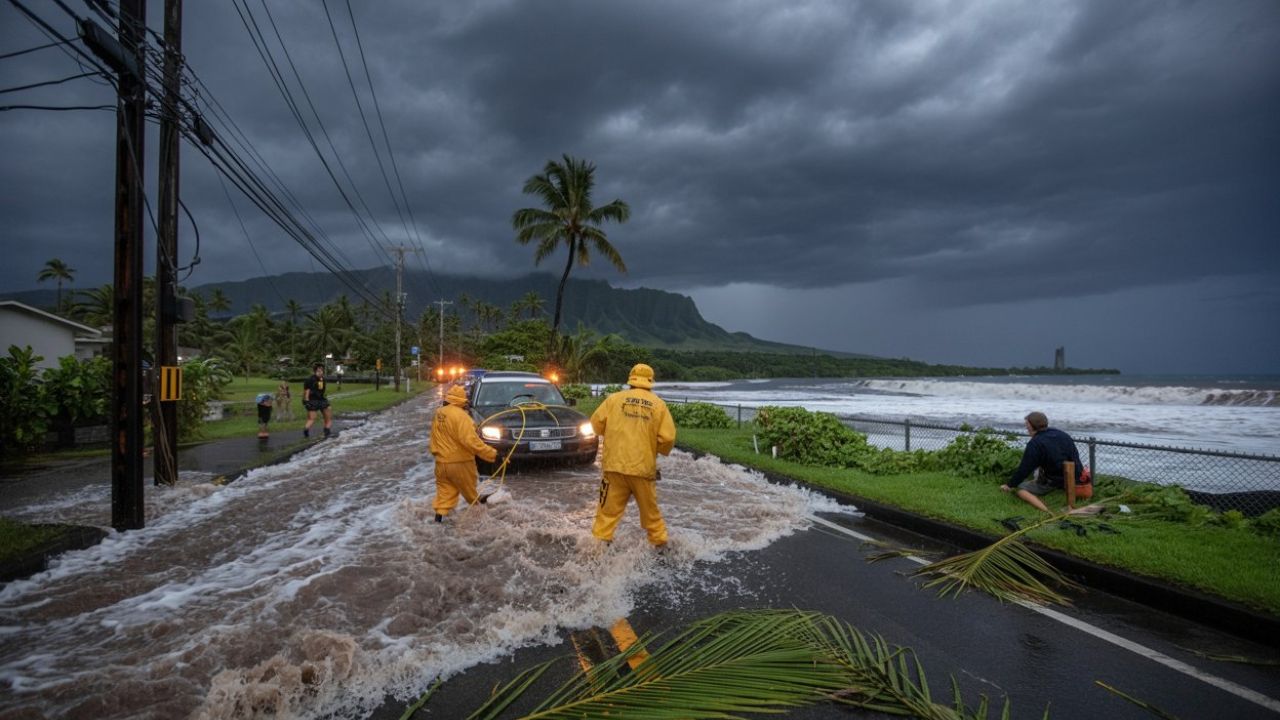
The “training” effect—where storms repeatedly move over the same areas—has raised serious concerns regarding flash flooding.
Safety Warning: Low-lying areas and small streams are at high risk for rapidly rising water. Motorists and campers, particularly in the Texas Hill Country, are urged to avoid flood-prone roads. Remember: Turn around, don’t drown.
By Easter Sunday, the storm front will reach the I-95 corridor, affecting New York City through Washington, D.C. While these storms are expected to stay below severe limits, holiday travelers should still prepare for gusty winds and small hail that could impact afternoon plans.
Key Takeaways for Residents:
- Monitor Local Alerts: Have a way to receive warnings after dark (such as a NOAA Weather Radio).
- Travel Delays: Expect delays at major hubs like O’Hare and Detroit Metro through the weekend.
- Flood Safety: Avoid camping near riverbanks in the Southern Plains and Midwest this weekend.
Stay tuned to local weather updates for your specific county as conditions evolve.